UN/LOCODE hub · Germany
DELKW

Luckau (Wendland)

52.9333°, 11.0500°
2
Transport functions

Transport Functions

Road
Multimodal
UN/LOCODE

Hub Profile

Region
NI
GeoNames

Location

Location of DELKW
Natural Earth 10m (public domain) · NI · DELKW · 52.93, 11.05GoogleOSMYandex

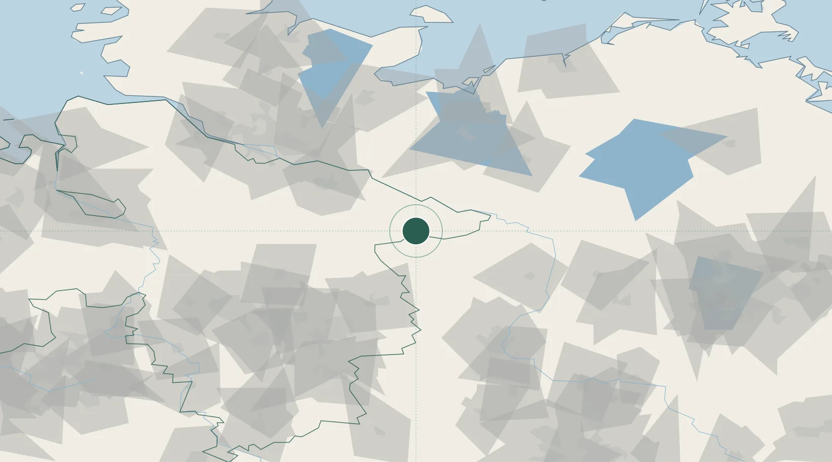
Nearby Logistics Neighbours

Cities
  1. 1Pretzier17 km
  2. 2Suhlendorf19 km
  3. 3Rosche21 km
  4. 4Hitzacker24 km
  5. 5Dotzingen24 km
Nearest neighbours — logibook spatial index (haversine) over the source coordinates
Ports
  1. 1Hamburg101 km
  2. 2Lubeck108 km
  3. 3Wismar111 km
  4. 4Lubeck-Travemunde115 km
  5. 5Butzfleth129 km
Nearest neighbours — logibook spatial index (haversine) over the source coordinates
Airports
  1. 1Faßberg Air Base58 km
  2. 2Braunschweig-Wolfsburg Airport76 km
  3. 3Celle Army Airfield79 km
  4. 4Lübeck Blankensee Airport99 km
  5. 5Hamburg Helmut Schmidt Airport105 km
Nearest neighbours — logibook spatial index (haversine) over the source coordinates
Trade Zones
  1. 1Freeport of Bremerhaven (Freihafen Bremerhaven)153 km
  2. 2Freeport of Kiel166 km
  3. 3Freeport of Cuxhaven (Freihafen Cuxhaven)192 km
  4. 4Swinoujscie Duty Free Zone239 km
  5. 5Szczecin Duty Free Zone241 km
Nearest neighbours — logibook spatial index (haversine) over the source coordinates
DatabookThe Record of Consolidated Knowledge
Germany beyond logistics?
Browse databook

All Sources

LocationsUN/LOCODE
UN/LOCODE — free
Portsthe NGA World Port Index
Public domain (US gov)
AirportsOurAirports
Public domain
Trade Zonesthe World Bank SEZ database
CC BY 4.0
Trade ZonesOpen Zone Map
CC BY
← Germany locations