UN/LOCODE hub · Germany
DESMS

Schönau im Schwarzwald

47.7833°, 7.9000°
2
Transport functions

Transport Functions

Road
Multimodal
UN/LOCODE

Hub Profile

Region
BW
GeoNames

Location

Location of DESMS
Natural Earth 10m (public domain) · BW · DESMS · 47.78, 7.90GoogleOSMYandex

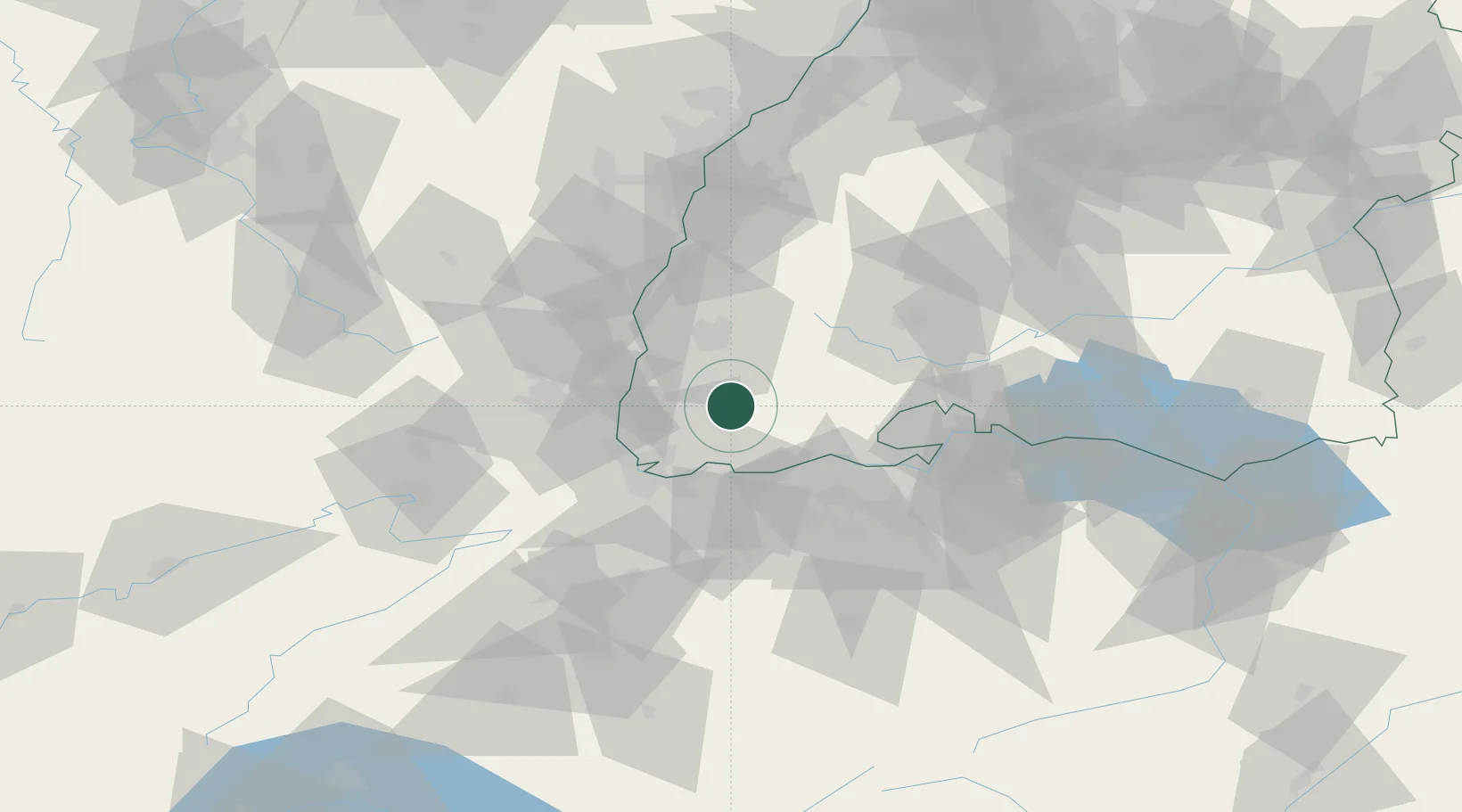
Nearby Logistics Neighbours

Cities
  1. 1Utzenfeld2 km
  2. 2Wieden6 km
  3. 3Zell im Wiesental10 km
  4. 4Staufen im Breisgau17 km
  5. 5Maulburg17 km
Nearest neighbours — logibook spatial index (haversine) over the source coordinates
Ports
  1. 1Genova385 km
  2. 2Savona388 km
  3. 3Rada Di Vado394 km
  4. 4Chiavari - Lavagna402 km
  5. 5Bruxelles429 km
Nearest neighbours — logibook spatial index (haversine) over the source coordinates
Airports
  1. 1EuroAirport Basel–Mulhouse–Freiburg35 km
  2. 2Donaueschingen-Villingen Airfield51 km
  3. 3Colmar Houssen airport54 km
  4. 4Zürich Airport61 km
  5. 5Lahr Airport65 km
Nearest neighbours — logibook spatial index (haversine) over the source coordinates
Trade Zones
  1. 1ZFU Mulhouse42 km
  2. 2ZFU Belfort83 km
  3. 3ZFU Neuhof85 km
  4. 4ZFU Montbéliard89 km
  5. 5ZFU Hautepierre92 km
Nearest neighbours — logibook spatial index (haversine) over the source coordinates
DatabookThe Record of Consolidated Knowledge
Germany beyond logistics?
Browse databook

All Sources

LocationsUN/LOCODE
UN/LOCODE — free
Portsthe NGA World Port Index
Public domain (US gov)
AirportsOurAirports
Public domain
Trade Zonesthe World Bank SEZ database
CC BY 4.0
Trade ZonesOpen Zone Map
CC BY
← Germany locations