Transport Functions
Rail
Road
Hub Profile
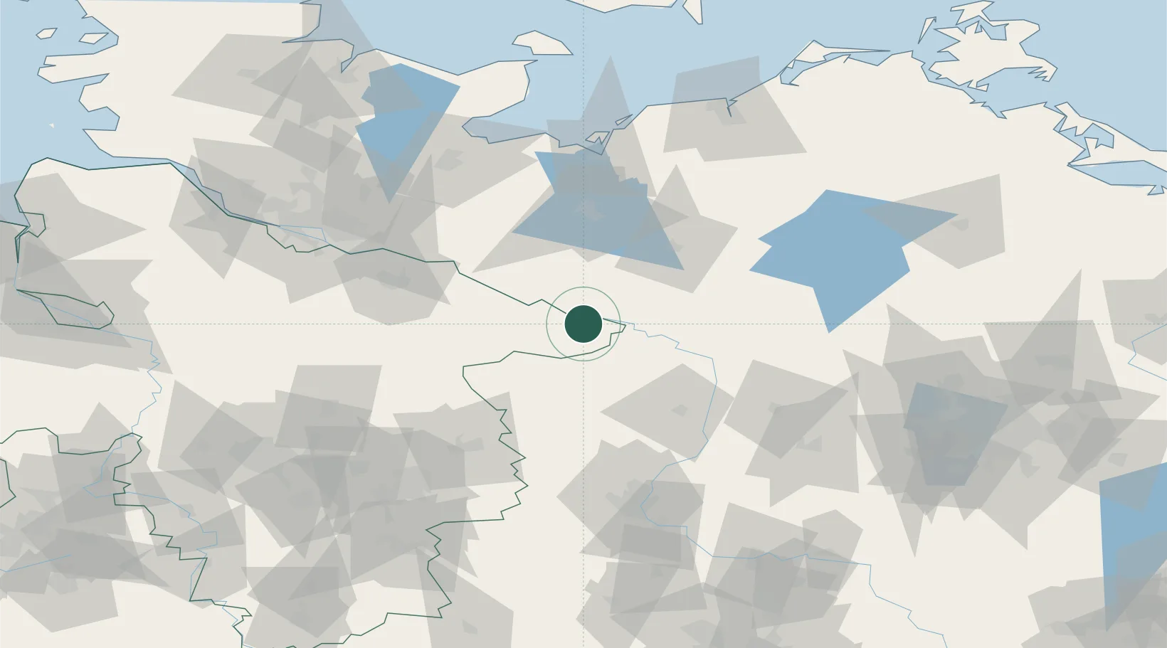
Place type
Local administrative seat
Region
Lower Saxony
Population
631
Time zone
Europe/Berlin
Elevation
22 m
Location
Nearby Logistics Neighbours
Cities
- 1Höhbeck5 km
- 2Lenzen6 km
- 3Dömitz12 km
- 4Schnackenburg14 km
- 5Neu Kaliss14 km
Ports
- 1Wismar95 km
- 2Lubeck103 km
- 3Lubeck-Travemunde107 km
- 4Hamburg110 km
- 5Neustadt122 km
Airports
- 1Faßberg Air Base80 km
- 2Lübeck Blankensee Airport94 km
- 3Braunschweig-Wolfsburg Airport98 km
- 4Celle Army Airfield104 km
- 5Hamburg Helmut Schmidt Airport112 km
Trade Zones
DatabookThe Record of Consolidated Knowledge
Germany beyond logistics?