UN/LOCODE hub · Germany
DEHOK

Höhbeck

53.0500°, 11.4333°
1
Transport functions

Transport Functions

Multimodal
UN/LOCODE

Hub Profile

Region
NI
GeoNames

Location

Location of DEHOK
Natural Earth 10m (public domain) · NI · DEHOK · 53.05, 11.43GoogleOSMYandex

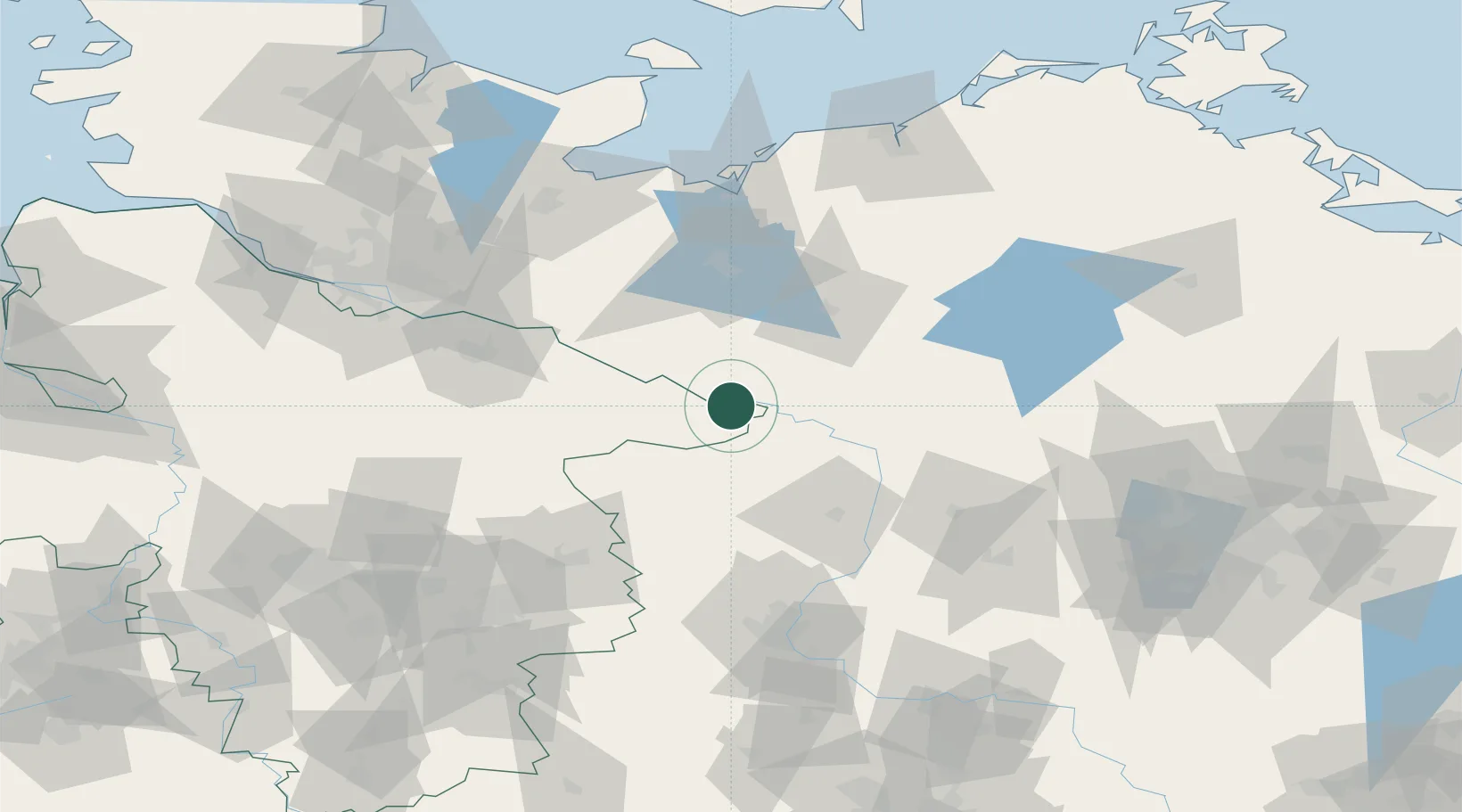
Nearby Logistics Neighbours

Cities
  1. 1Lenzen4 km
  2. 2Gorleben5 km
  3. 3Schnackenburg9 km
  4. 4Cumlosen15 km
  5. 5Dömitz15 km
Nearest neighbours — logibook spatial index (haversine) over the source coordinates
Ports
  1. 1Wismar95 km
  2. 2Lubeck105 km
  3. 3Lubeck-Travemunde108 km
  4. 4Hamburg114 km
  5. 5Neustadt124 km
Nearest neighbours — logibook spatial index (haversine) over the source coordinates
Airports
  1. 1Faßberg Air Base85 km
  2. 2Lübeck Blankensee Airport96 km
  3. 3Braunschweig-Wolfsburg Airport101 km
  4. 4Celle Army Airfield108 km
  5. 5Rostock-Laage Airport112 km
Nearest neighbours — logibook spatial index (haversine) over the source coordinates
Trade Zones
  1. 1Freeport of Kiel165 km
  2. 2Freeport of Bremerhaven (Freihafen Bremerhaven)178 km
  3. 3Freeport of Cuxhaven (Freihafen Cuxhaven)209 km
  4. 4Swinoujscie Duty Free Zone210 km
  5. 5Szczecin Duty Free Zone213 km
Nearest neighbours — logibook spatial index (haversine) over the source coordinates
DatabookThe Record of Consolidated Knowledge
Germany beyond logistics?
Browse databook

All Sources

LocationsUN/LOCODE
UN/LOCODE — free
Portsthe NGA World Port Index
Public domain (US gov)
AirportsOurAirports
Public domain
Trade Zonesthe World Bank SEZ database
CC BY 4.0
Trade ZonesOpen Zone Map
CC BY
← Germany locations