Transport Functions
Road
Multimodal
Hub Profile
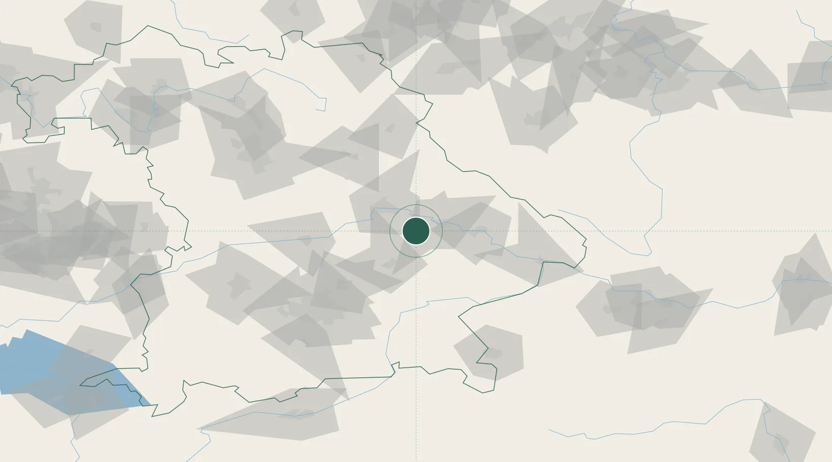
Place type
Populated place
Region
Bavaria
Population
6,872
Time zone
Europe/Berlin
Elevation
356 m
Location
Nearby Logistics Neighbours
Cities
- 1Sünching6 km
- 2Pullach6 km
- 3Salching14 km
- 4Hagelstadt14 km
- 5Kirchroth18 km
Ports
- 1Nogaro347 km
- 2Monfalcone350 km
- 3Grado356 km
- 4Trieste369 km
- 5Muggia374 km
Airports
- 1Landshut Airfield44 km
- 2Hohenfels Army Airfield58 km
- 3Ingolstadt Manching Airport64 km
- 4Munich Airport69 km
- 5Neuburg Air Base87 km
Trade Zones
DatabookThe Record of Consolidated Knowledge
Germany beyond logistics?