Transport Functions
Rail
Road
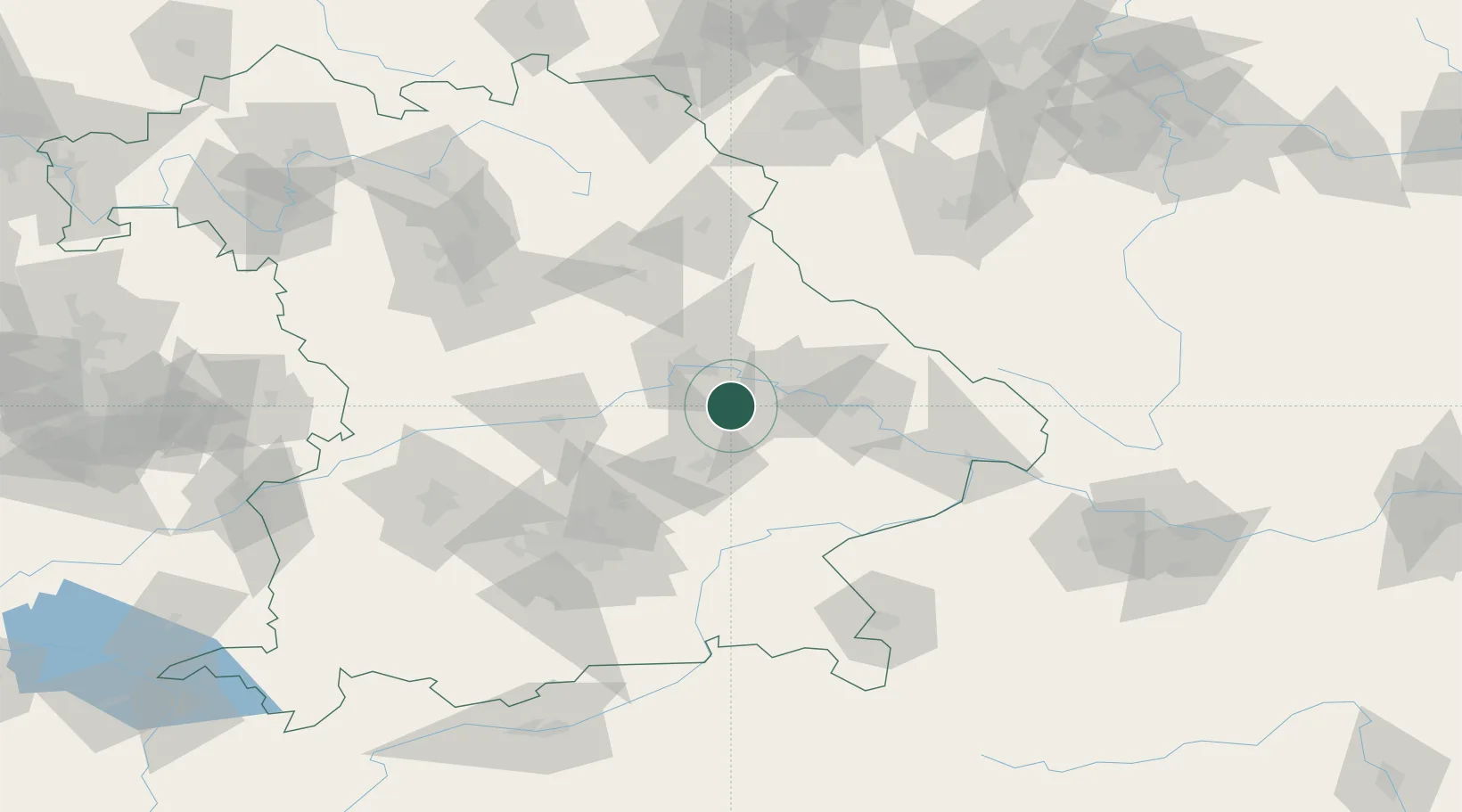
Hub Profile
Place type
Populated place
Region
Bavaria
Time zone
Europe/Berlin
Elevation
383 m
Location
Nearby Logistics Neighbours
Cities
- 1Geiselhöring6 km
- 2Sünching7 km
- 3Hagelstadt10 km
- 4Ergoldsbach17 km
- 5Salching20 km
Ports
- 1Nogaro348 km
- 2Monfalcone352 km
- 3Grado357 km
- 4Trieste370 km
- 5Muggia376 km
Airports
- 1Landshut Airfield41 km
- 2Hohenfels Army Airfield54 km
- 3Ingolstadt Manching Airport58 km
- 4Munich Airport65 km
- 5Neuburg Air Base81 km
Trade Zones
DatabookThe Record of Consolidated Knowledge
Germany beyond logistics?