Transport Functions
Multimodal
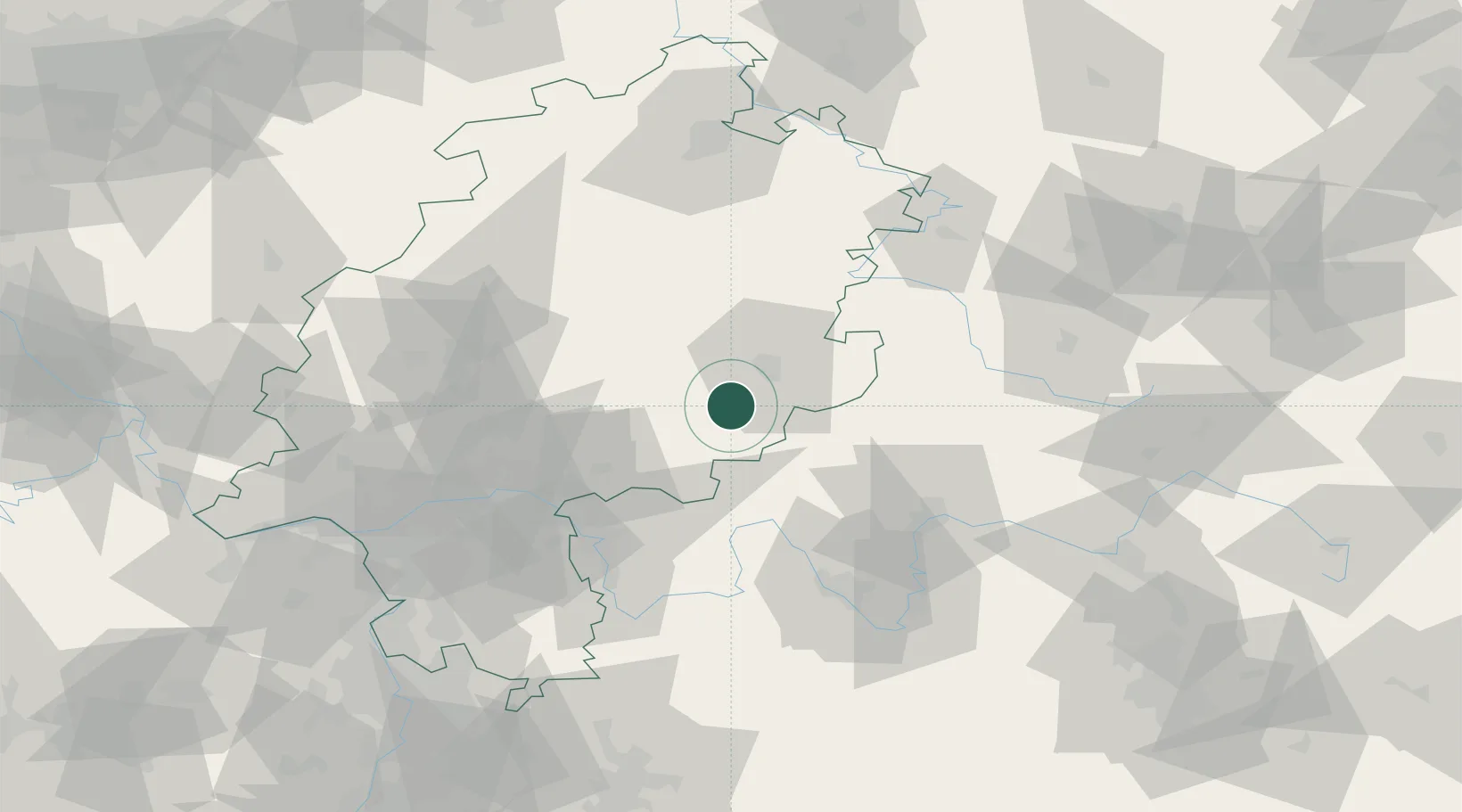
Hub Profile
Place type
Local administrative seat
Region
Hesse
Population
8,843
Time zone
Europe/Berlin
Elevation
299 m
Location
Nearby Logistics Neighbours
Cities
- 1Neuhof4 km
- 2Mittelkalbach6 km
- 3Kalbach9 km
- 4Schlüchtern10 km
- 5Freiensteinau12 km
Airports
- 1Fritzlar Army Airfield80 km
- 2Frankfurt-Egelsbach Airport83 km
- 3Frankfurt Main Airport84 km
- 4Eisenach-Kindel Airport91 km
- 5Wiesbaden Army Airfield97 km
Trade Zones
- 1Rheinische Revier SWZ231 km
- 2ZFU La Cité Behren-lès-Forbach235 km
- 3Freeport of Duisburg238 km
- 4ZFU Hautepierre244 km
- 5ZFU Neuhof246 km
DatabookThe Record of Consolidated Knowledge
Germany beyond logistics?