Transport Functions
Rail
Road
Hub Profile
Region
ST
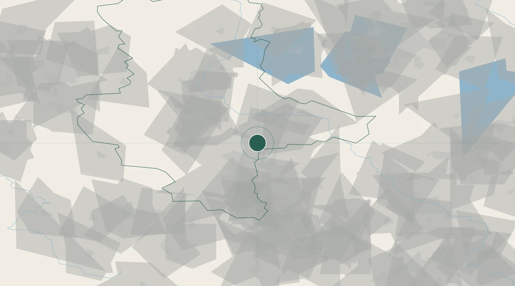
Location
Nearby Logistics Neighbours
Cities
- 1Zörbig5 km
- 2Landsberg10 km
- 3Brachstedt11 km
- 4Oppin13 km
- 5Görzig14 km
Airports
- 1Leipzig/Halle Airport22 km
- 2Zerbst Airfield43 km
- 3Holzdorf Air Base70 km
- 4Leipzig–Altenburg Airport74 km
- 5Erfurt-Weimar Airport111 km
Trade Zones
- 1Most - Joseph Industrial Zone162 km
- 2Žatec - Triangle Strategic Industrial Zone165 km
- 3Podbořany Industrial Zone177 km
- 4Kostrzyń-Słubice SEZ200 km
- 5Szczecin Duty Free Zone258 km
DatabookThe Record of Consolidated Knowledge
Germany beyond logistics?