Transport Functions
Rail
Road
Hub Profile
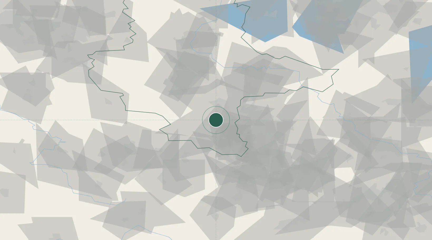
Place type
Populated place
Region
Saxony-Anhalt
Population
1,650
Time zone
Europe/Berlin
Elevation
100 m
Location
Nearby Logistics Neighbours
Cities
- 1Grosskayna4 km
- 2Braunsbedra5 km
- 3Krumpa6 km
- 4Spergau7 km
- 5Rossbach, Merseburg-Querfurt8 km
Ports
- 1Hamburg283 km
- 2Wismar289 km
- 3Bremen296 km
- 4Lubeck297 km
- 5Lubeck-Travemunde303 km
Airports
- 1Leipzig/Halle Airport24 km
- 2Leipzig–Altenburg Airport55 km
- 3Zerbst Airfield78 km
- 4Erfurt-Weimar Airport78 km
- 5Holzdorf Air Base99 km
Trade Zones
DatabookThe Record of Consolidated Knowledge
Germany beyond logistics?