Transport Functions
Rail
Road
Hub Profile
Region
ST
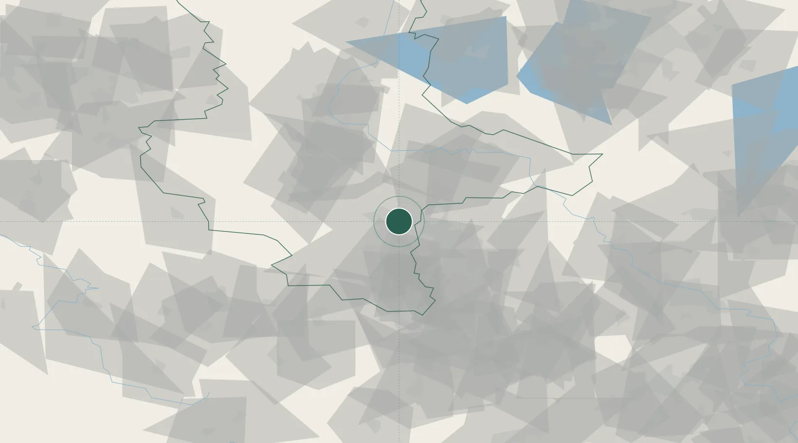
Location
Nearby Logistics Neighbours
Cities
- 1Landsberg9 km
- 2Oppin10 km
- 3Halle11 km
- 4Brachstedt11 km
- 5Wallendorf11 km
Airports
- 1Leipzig/Halle Airport13 km
- 2Zerbst Airfield60 km
- 3Leipzig–Altenburg Airport62 km
- 4Holzdorf Air Base83 km
- 5Erfurt-Weimar Airport94 km
Trade Zones
DatabookThe Record of Consolidated Knowledge
Germany beyond logistics?