Transport Functions
Port
Rail
Road
Hub Profile
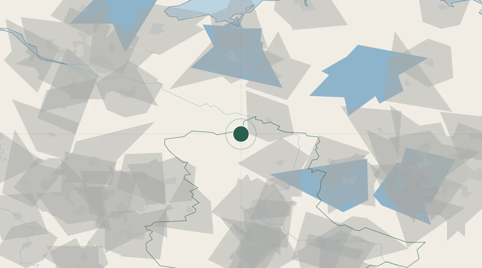
Place type
Populated place
Region
Brandenburg
Time zone
Europe/Berlin
Elevation
53 m
Location
Nearby Logistics Neighbours
Cities
- 1Neulingen5 km
- 2Pretzier17 km
- 3Schnackenburg18 km
- 4Seehausen18 km
- 5Cumlosen19 km
Ports
- 1Wismar113 km
- 2Lubeck123 km
- 3Lubeck-Travemunde127 km
- 4Hamburg127 km
- 5Rostock142 km
Airports
- 1Faßberg Air Base87 km
- 2Braunschweig-Wolfsburg Airport89 km
- 3Celle Army Airfield104 km
- 4Zerbst Airfield108 km
- 5Lübeck Blankensee Airport114 km
Trade Zones
- 1Freeport of Bremerhaven (Freihafen Bremerhaven)183 km
- 2Freeport of Kiel183 km
- 3Szczecin Duty Free Zone215 km
- 4Kostrzyń-Słubice SEZ215 km
- 5Swinoujscie Duty Free Zone217 km
DatabookThe Record of Consolidated Knowledge
Germany beyond logistics?