Transport Functions
Rail
Road
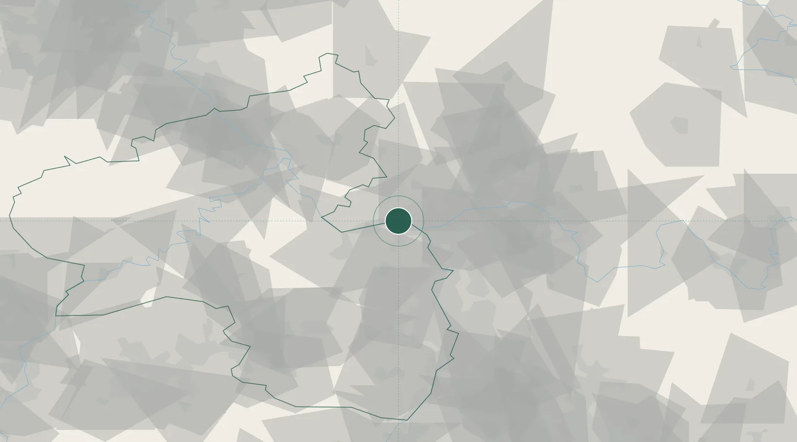
Hub Profile
Place type
Urban district
Region
Hesse
Population
10,642
Time zone
Europe/Berlin
Elevation
94 m
Location
Nearby Logistics Neighbours
Cities
- 1Niederwalluf2 km
- 2Heidesheim5 km
- 3Mainz7 km
- 4Mainz Kastel8 km
- 5Mainz-Kostheim9 km
Airports
- 1Mainz-Finthen Airfield8 km
- 2Wiesbaden Army Airfield10 km
- 3Frankfurt Main Airport27 km
- 4Frankfurt-Egelsbach Airport34 km
- 5Frankfurt-Hahn Airport67 km
Trade Zones
- 1ZFU La Cité Behren-lès-Forbach132 km
- 2Luxembourg Free Port147 km
- 3Rheinische Revier SWZ161 km
- 4ZFU Hautepierre164 km
- 5ZFU Neuhof169 km
DatabookThe Record of Consolidated Knowledge
Germany beyond logistics?