Transport Functions
Rail
Road
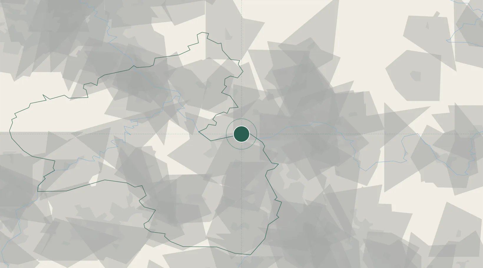
Hub Profile
Place type
Populated place
Region
Hesse
Time zone
Europe/Berlin
Elevation
104 m
Location
Nearby Logistics Neighbours
Cities
- 1Schierstein2 km
- 2Heidesheim4 km
- 3Hattenheim7 km
- 4Mainz10 km
- 5Mainz Kastel10 km
Airports
- 1Mainz-Finthen Airfield7 km
- 2Wiesbaden Army Airfield13 km
- 3Frankfurt Main Airport29 km
- 4Frankfurt-Egelsbach Airport36 km
- 5Frankfurt-Hahn Airport64 km
Trade Zones
- 1ZFU La Cité Behren-lès-Forbach131 km
- 2Luxembourg Free Port145 km
- 3Rheinische Revier SWZ159 km
- 4ZFU Hautepierre163 km
- 5ZFU Neuhof168 km
DatabookThe Record of Consolidated Knowledge
Germany beyond logistics?