UN/LOCODE hub · Germany
DEMKM

Mainz-Kostheim

50.0000°, 8.3000°
1
Transport functions

Transport Functions

Multimodal
UN/LOCODE

Hub Profile

Place type
Urban district
GeoNames
Region
Hesse
GeoNames
Time zone
Europe/Berlin
GeoNames
Elevation
89 m
GeoNames

Location

Location of DEMKM
Natural Earth 10m (public domain) · Hesse · DEMKM · 50.00, 8.30GoogleOSMYandex

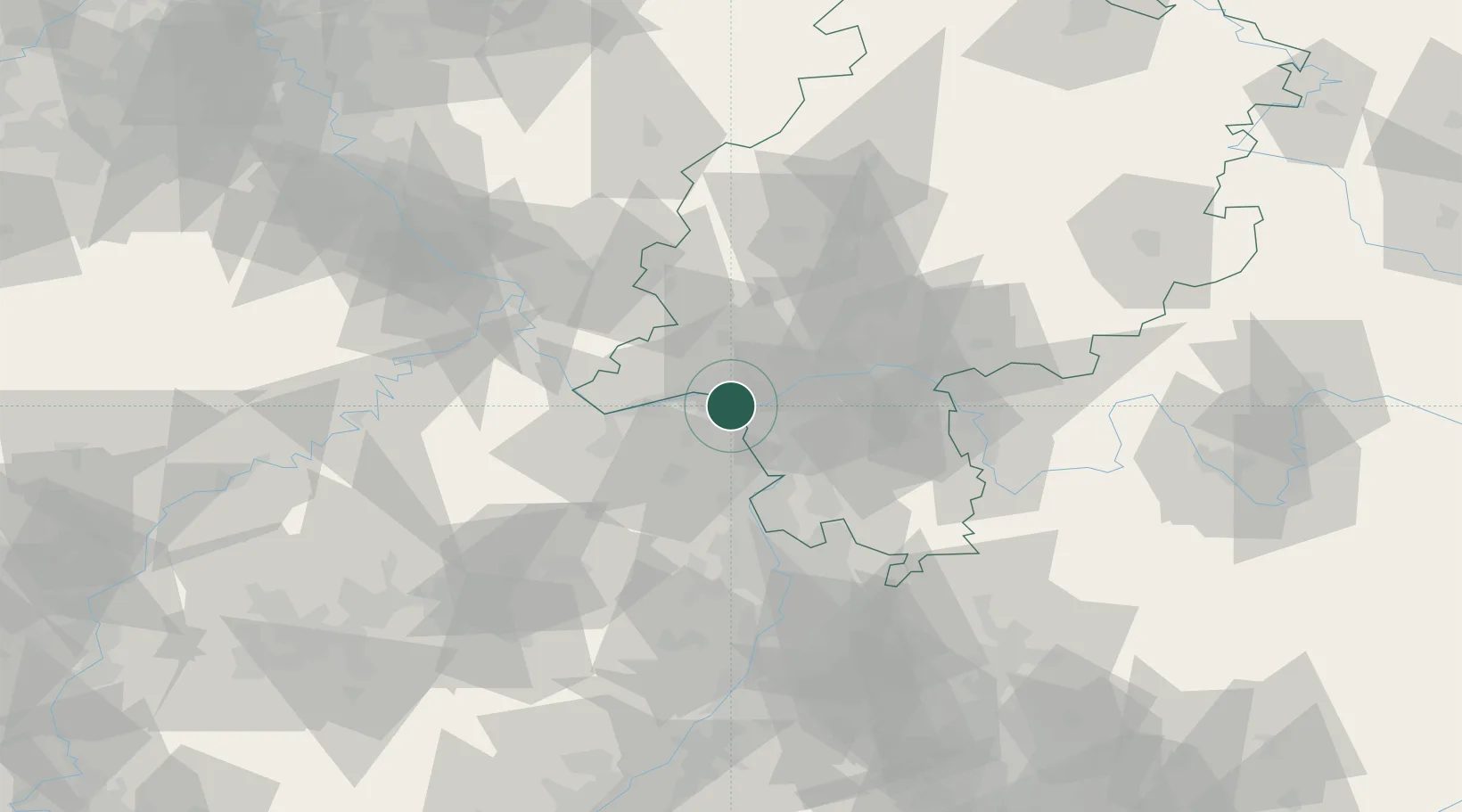
Nearby Logistics Neighbours

Cities
  1. 1Mainz2 km
  2. 2Mainz Kastel2 km
  3. 3Bischofsheim5 km
  4. 4Bodenheim7 km
  5. 5Schierstein9 km
Nearest neighbours — logibook spatial index (haversine) over the source coordinates
Ports
  1. 1Oldenburg347 km
  2. 2Bremen350 km
  3. 3Papenburg351 km
  4. 4Elsfleth360 km
  5. 5Leer364 km
Nearest neighbours — logibook spatial index (haversine) over the source coordinates
Airports
  1. 1Wiesbaden Army Airfield6 km
  2. 2Mainz-Finthen Airfield12 km
  3. 3Frankfurt Main Airport19 km
  4. 4Frankfurt-Egelsbach Airport25 km
  5. 5Mannheim-City Airport61 km
Nearest neighbours — logibook spatial index (haversine) over the source coordinates
Trade Zones
  1. 1ZFU La Cité Behren-lès-Forbach136 km
  2. 2Luxembourg Free Port154 km
  3. 3ZFU Hautepierre162 km
  4. 4ZFU Neuhof167 km
  5. 5Rheinische Revier SWZ169 km
Nearest neighbours — logibook spatial index (haversine) over the source coordinates
DatabookThe Record of Consolidated Knowledge
Germany beyond logistics?
Browse databook

All Sources

LocationsUN/LOCODE
UN/LOCODE — free
Portsthe NGA World Port Index
Public domain (US gov)
AirportsOurAirports
Public domain
Trade Zonesthe World Bank SEZ database
CC BY 4.0
Trade ZonesOpen Zone Map
CC BY
← Germany locations