Transport Functions
Port
Rail
Road
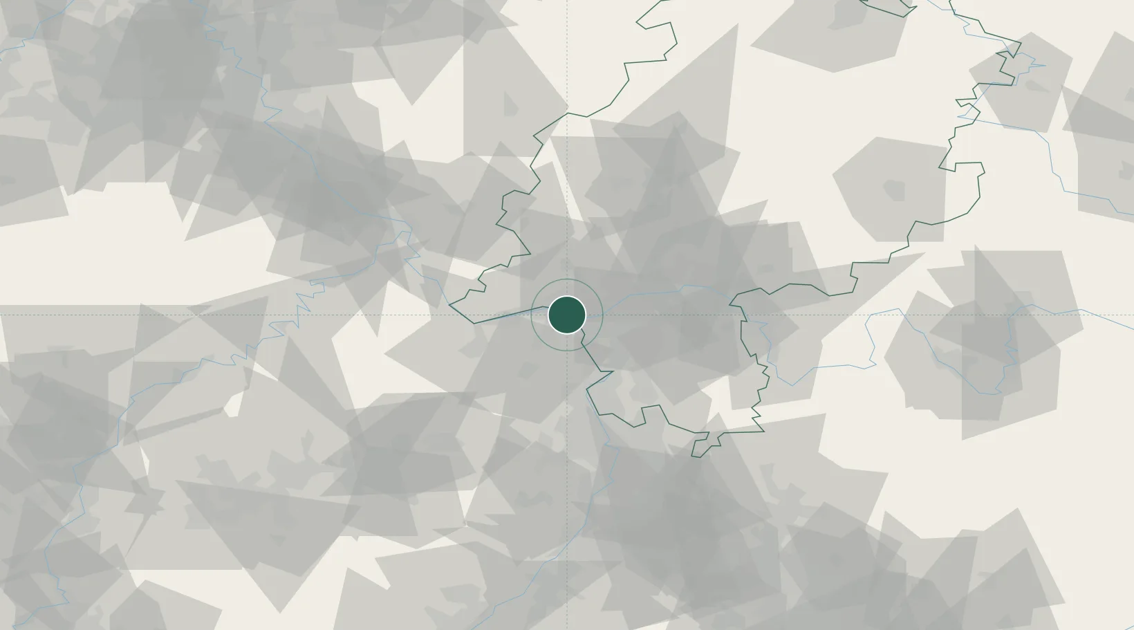
Hub Profile
Place type
Regional capital
Region
Rheinland-Pfalz
Population
217,123
Time zone
Europe/Berlin
Elevation
125 m
Logistics facilities
3
Location
Nearby Logistics Neighbours
Cities
- 1Mainz Kastel1 km
- 2Mainz-Kostheim2 km
- 3Bischofsheim6 km
- 4Schierstein7 km
- 5Bodenheim9 km
Airports
- 1Wiesbaden Army Airfield6 km
- 2Mainz-Finthen Airfield11 km
- 3Frankfurt Main Airport20 km
- 4Frankfurt-Egelsbach Airport27 km
- 5Mannheim-City Airport62 km
Trade Zones
- 1ZFU La Cité Behren-lès-Forbach135 km
- 2Luxembourg Free Port153 km
- 3ZFU Hautepierre163 km
- 4Rheinische Revier SWZ168 km
- 5ZFU Neuhof168 km
DatabookThe Record of Consolidated Knowledge
Germany beyond logistics?