Transport Functions
Rail
Road
Hub Profile
Region
RP
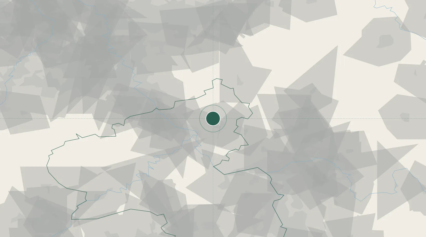
Location
Nearby Logistics Neighbours
Cities
- 1Goddert3 km
- 2Sessenhausen4 km
- 3Ebernhahn7 km
- 4Dernbach bei Montabaur8 km
- 5Ransbach-Baumbach8 km
Airports
- 1Siegerland Airport30 km
- 2Cologne Bonn Airport57 km
- 3Büchel Air Base64 km
- 4Wiesbaden Army Airfield67 km
- 5Mainz-Finthen Airfield69 km
Trade Zones
- 1Rheinische Revier SWZ106 km
- 2Freeport of Duisburg131 km
- 3Luxembourg Free Port148 km
- 4ZFU La Cité Behren-lès-Forbach163 km
- 5ZFU Woippy-Metz193 km
DatabookThe Record of Consolidated Knowledge
Germany beyond logistics?