Transport Functions
Rail
Road
Hub Profile
Region
RP
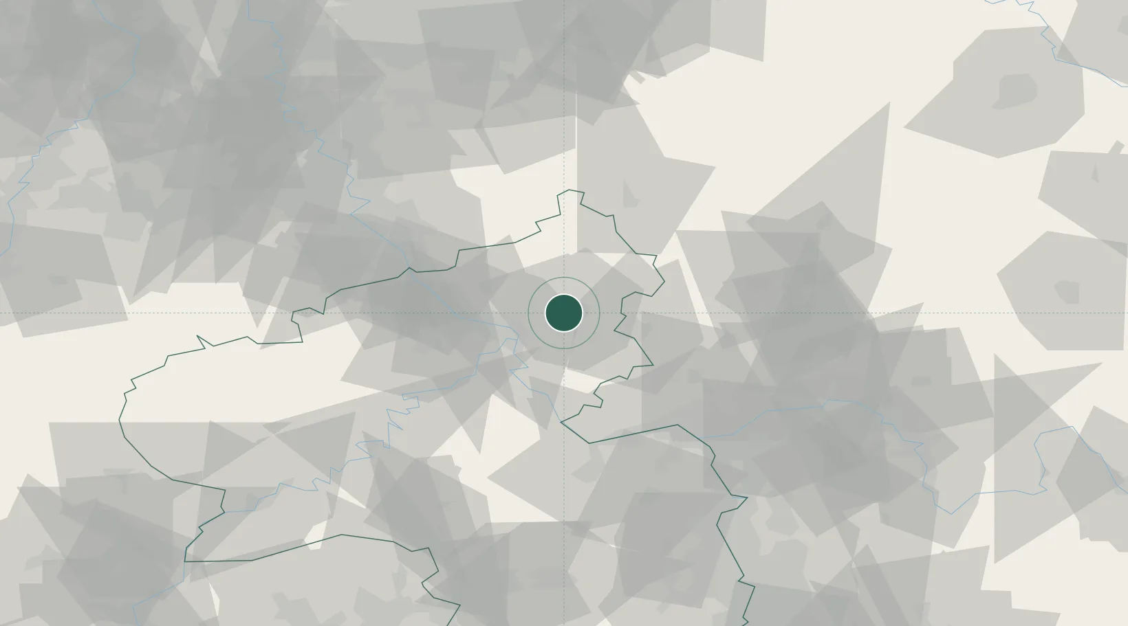
Location
Nearby Logistics Neighbours
Cities
- 1Ebernhahn1 km
- 2Bannberscheid4 km
- 3Ransbach-Baumbach4 km
- 4Staudt4 km
- 5Baumbach5 km
Airports
- 1Siegerland Airport34 km
- 2Wiesbaden Army Airfield60 km
- 3Büchel Air Base61 km
- 4Mainz-Finthen Airfield61 km
- 5Cologne Bonn Airport63 km
Trade Zones
- 1Rheinische Revier SWZ110 km
- 2Freeport of Duisburg137 km
- 3Luxembourg Free Port145 km
- 4ZFU La Cité Behren-lès-Forbach157 km
- 5ZFU Woippy-Metz188 km
DatabookThe Record of Consolidated Knowledge
Germany beyond logistics?