UN/LOCODE hub · Germany
DERBA
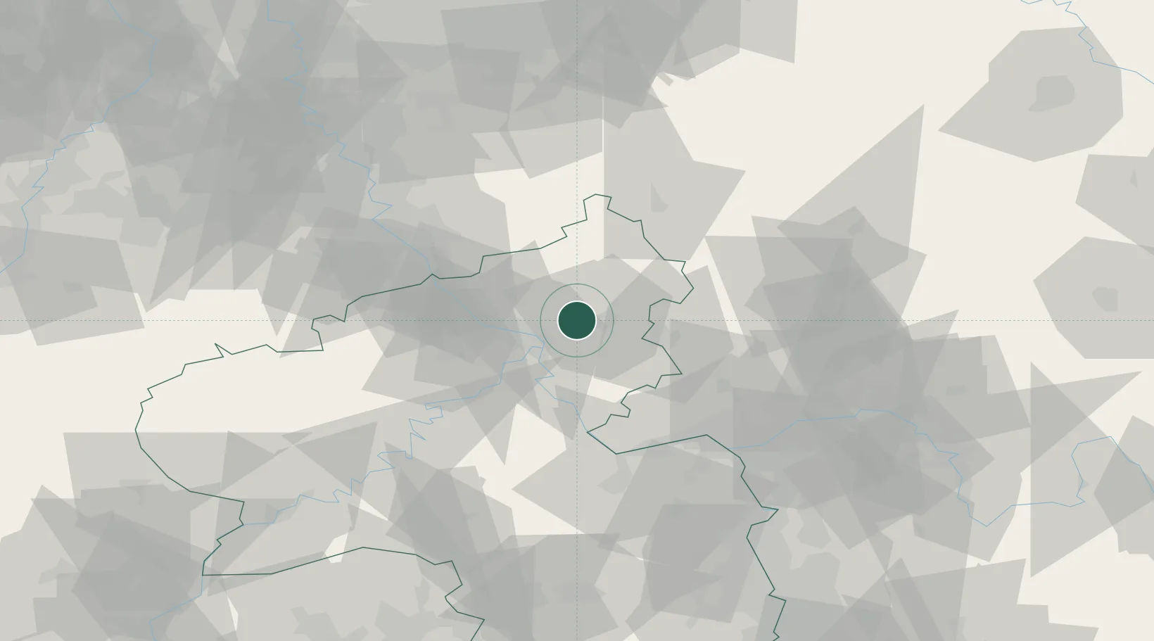
Ransbach-Baumbach
50.4667°, 7.7333°
7,327
Population
2
Transport functions
Transport Functions
Rail
Road
Hub Profile
Place type
Populated place
Region
Rheinland-Pfalz
Population
7,327
Time zone
Europe/Berlin
Elevation
305 m
Location
Nearby Logistics Neighbours
Cities
- 1Baumbach2 km
- 2Hundsdorf2 km
- 3Ebernhahn2 km
- 4Dernbach bei Montabaur4 km
- 5Hilgert4 km
Airports
- 1Siegerland Airport36 km
- 2Büchel Air Base58 km
- 3Cologne Bonn Airport61 km
- 4Wiesbaden Army Airfield63 km
- 5Mainz-Finthen Airfield63 km
Trade Zones
- 1Rheinische Revier SWZ107 km
- 2Freeport of Duisburg135 km
- 3Luxembourg Free Port142 km
- 4ZFU La Cité Behren-lès-Forbach156 km
- 5ZFU Woippy-Metz185 km
DatabookThe Record of Consolidated Knowledge
Germany beyond logistics?