Transport Functions
Rail
Road
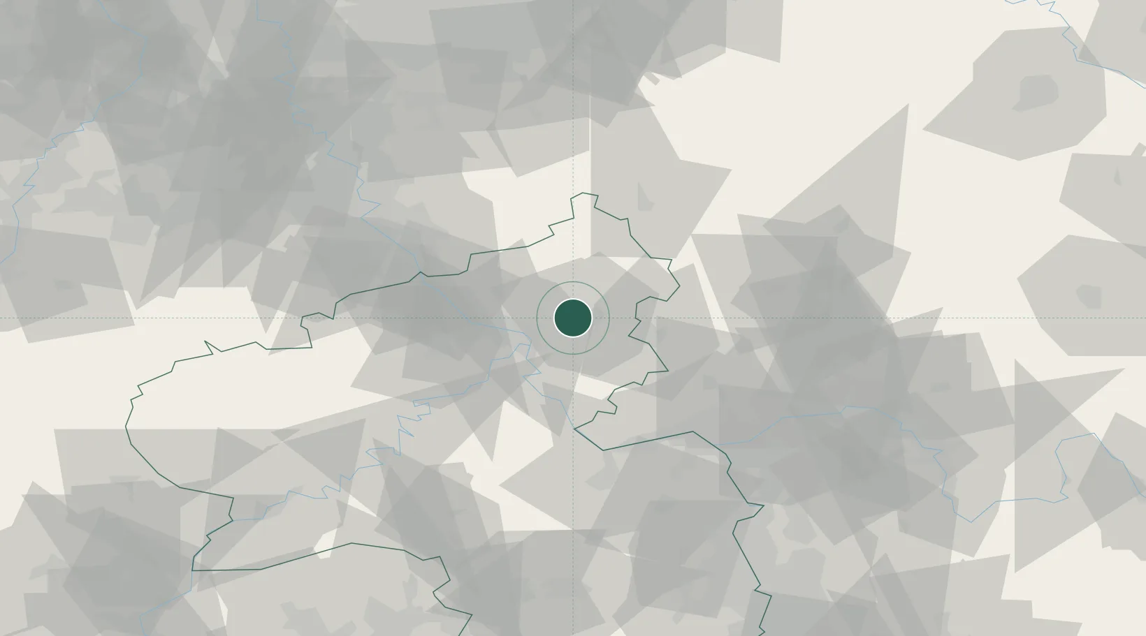
Hub Profile
Place type
Local administrative seat
Region
Rheinland-Pfalz
Population
1,266
Time zone
Europe/Berlin
Elevation
304 m
Location
Nearby Logistics Neighbours
Cities
- 1Dernbach bei Montabaur1 km
- 2Ransbach-Baumbach2 km
- 3Baumbach4 km
- 4Bannberscheid5 km
- 5Staudt5 km
Airports
- 1Siegerland Airport35 km
- 2Büchel Air Base60 km
- 3Wiesbaden Army Airfield61 km
- 4Mainz-Finthen Airfield62 km
- 5Cologne Bonn Airport63 km
Trade Zones
- 1Rheinische Revier SWZ109 km
- 2Freeport of Duisburg137 km
- 3Luxembourg Free Port144 km
- 4ZFU La Cité Behren-lès-Forbach157 km
- 5ZFU Woippy-Metz187 km
DatabookThe Record of Consolidated Knowledge
Germany beyond logistics?