Transport Functions
Multimodal
Hub Profile
Place type
Populated place
Region
Thuringia
Time zone
Europe/Berlin
Elevation
137 m
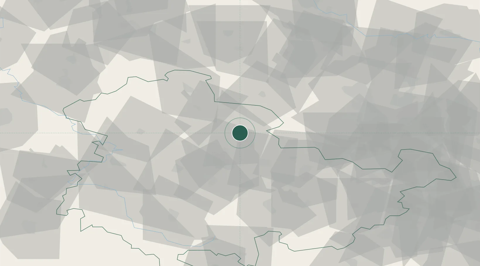
Location
Nearby Logistics Neighbours
Airports
- 1Erfurt-Weimar Airport28 km
- 2Eisenach-Kindel Airport52 km
- 3Leipzig/Halle Airport79 km
- 4Leipzig–Altenburg Airport98 km
- 5Zerbst Airfield113 km
Trade Zones
DatabookThe Record of Consolidated Knowledge
Germany beyond logistics?