Transport Functions
Rail
Road
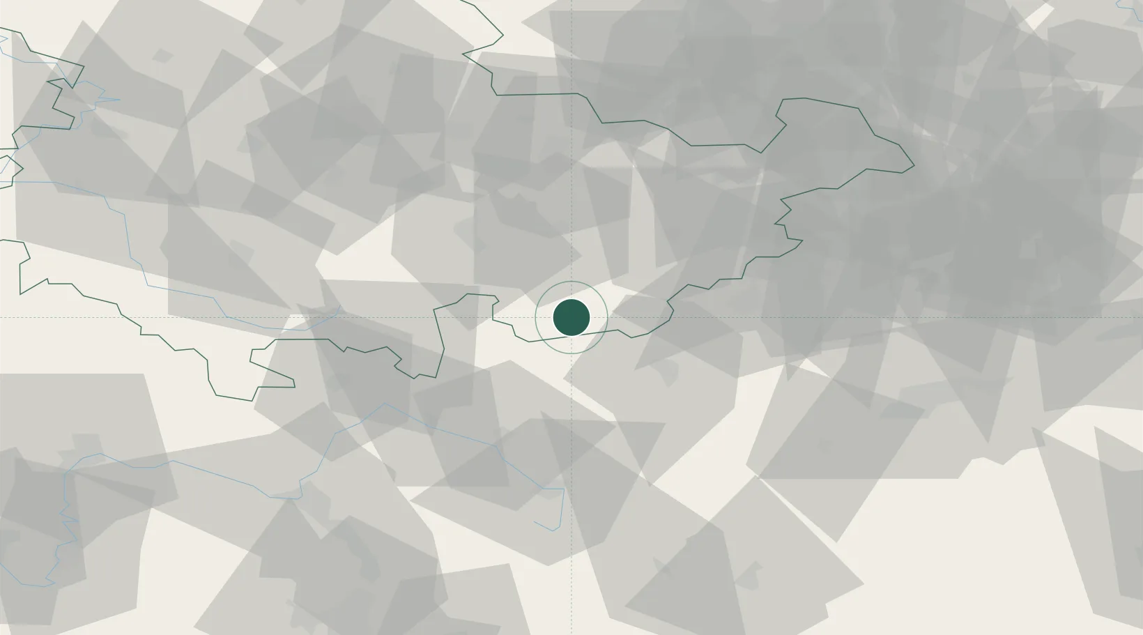
Hub Profile
Place type
Populated place
Region
Thuringia
Population
5,843
Time zone
Europe/Berlin
Elevation
560 m
Location
Nearby Logistics Neighbours
Cities
- 1Saalburg8 km
- 2Geroldsgrün13 km
- 3Schwarzenbach am Wald19 km
- 4Schleiz19 km
- 5Steinbach am Wald20 km
Airports
- 1Hof-Plauen Airport23 km
- 2Bayreuth Airport52 km
- 3Erfurt-Weimar Airport76 km
- 4Bamberg-Breitenau Airfield79 km
- 5Leipzig–Altenburg Airport85 km
Trade Zones
DatabookThe Record of Consolidated Knowledge
Germany beyond logistics?