Transport Functions
Rail
Road
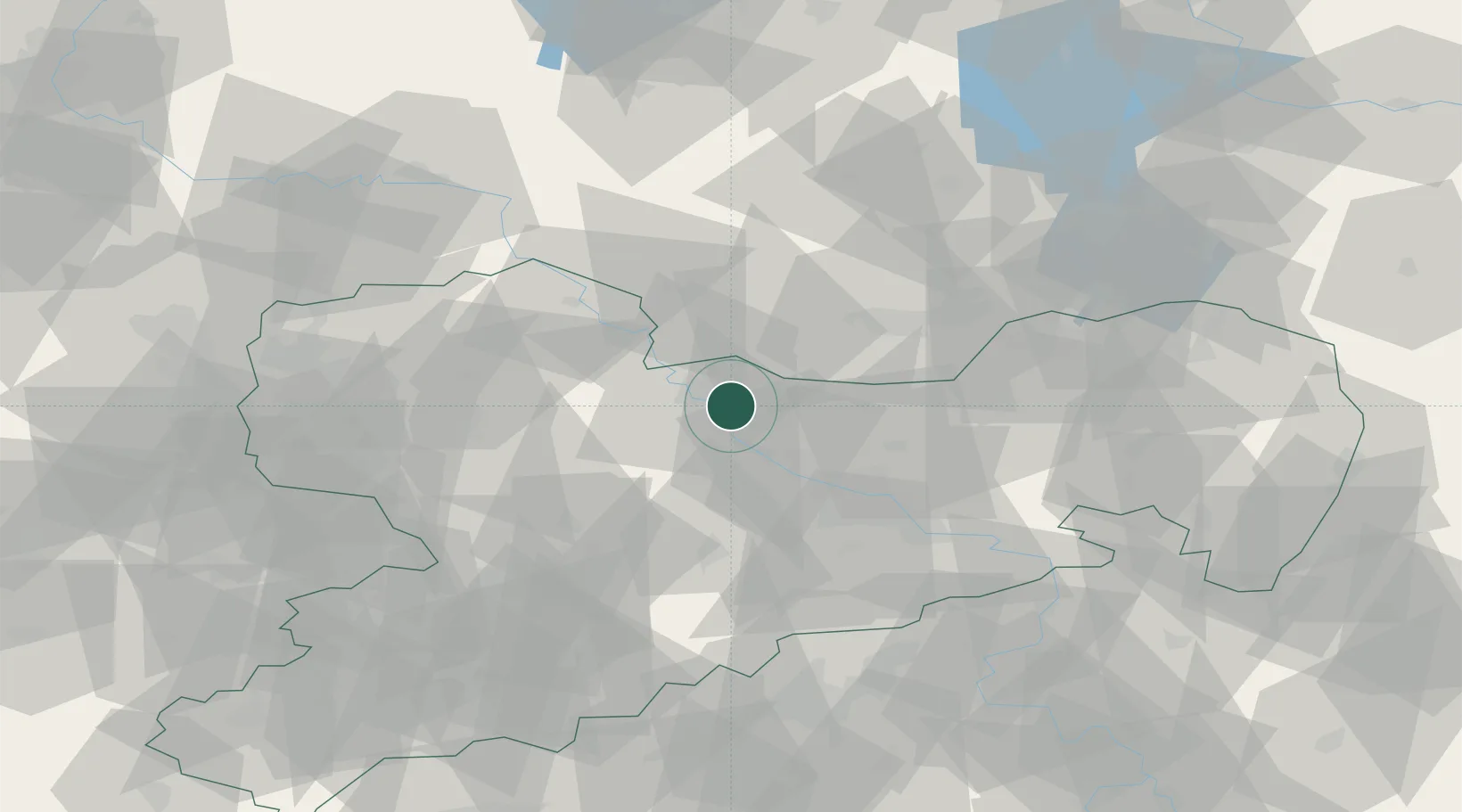
Hub Profile
Place type
Local administrative seat
Region
Saxony
Population
6,846
Time zone
Europe/Berlin
Elevation
100 m
Logistics facilities
1
Location
Nearby Logistics Neighbours
Ports
- 1Szczecin249 km
- 2Police265 km
- 3Swinoujscie298 km
- 4Wolgast308 km
- 5Wismar318 km
Airports
- 1Dresden Airport31 km
- 2Holzdorf Air Base55 km
- 3Leipzig–Altenburg Airport71 km
- 4Leipzig/Halle Airport82 km
- 5Rothenburg/Görlitz Airfield108 km
Trade Zones
DatabookThe Record of Consolidated Knowledge
Germany beyond logistics?