Transport Functions
Port
Road
Hub Profile
Region
SN
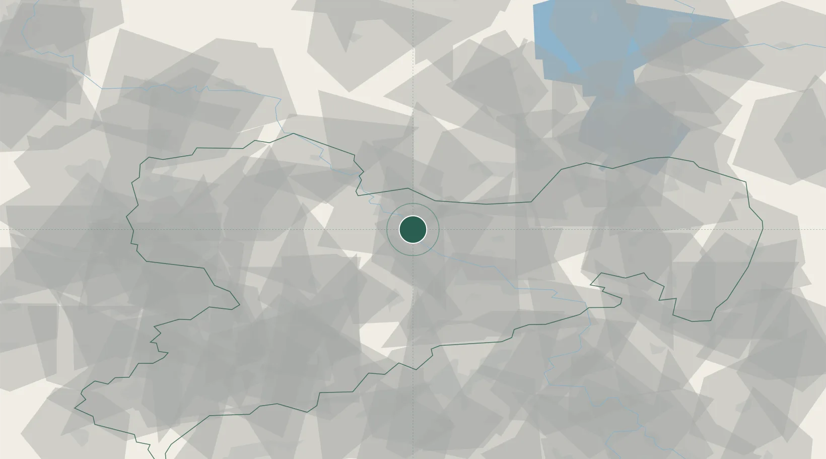
Location
Nearby Logistics Neighbours
Cities
- 1Diesbar2 km
- 2Zehren4 km
- 3Nünchritz7 km
- 4Niederau (Meisharpen)9 km
- 5Glaubitz10 km
Ports
- 1Szczecin254 km
- 2Police271 km
- 3Swinoujscie304 km
- 4Wolgast314 km
- 5Wismar325 km
Airports
- 1Dresden Airport26 km
- 2Holzdorf Air Base62 km
- 3Leipzig–Altenburg Airport71 km
- 4Leipzig/Halle Airport86 km
- 5Rothenburg/Görlitz Airfield106 km
Trade Zones
DatabookThe Record of Consolidated Knowledge
Germany beyond logistics?