Transport Functions
Port
Road
Hub Profile
Place type
Urban district
Region
Saxony
Time zone
Europe/Berlin
Elevation
103 m
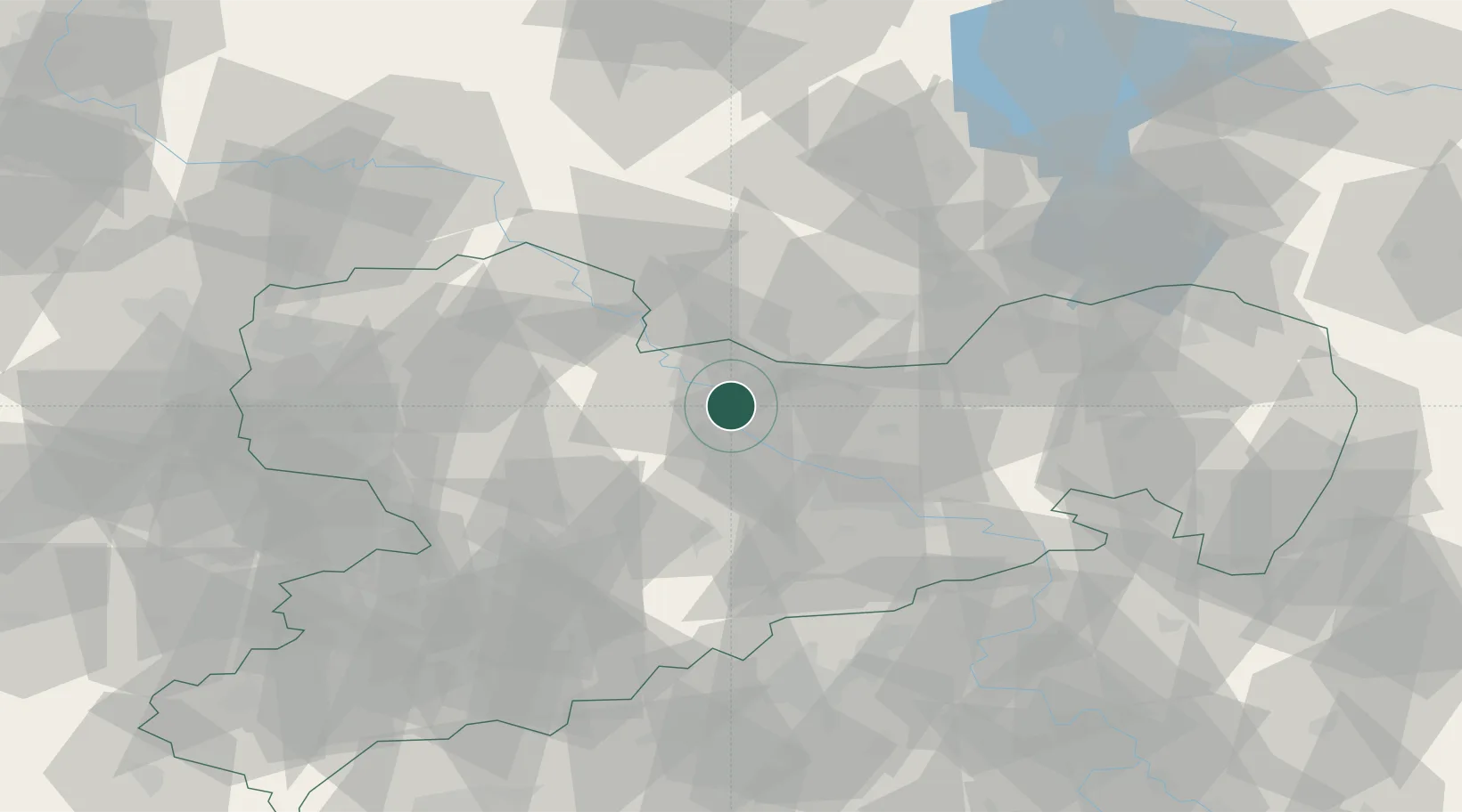
Location
Nearby Logistics Neighbours
Cities
- 1Nieschütz2 km
- 2Nünchritz5 km
- 3Zehren6 km
- 4Glaubitz8 km
- 5Lommatzsch10 km
Ports
- 1Szczecin253 km
- 2Police269 km
- 3Swinoujscie302 km
- 4Wolgast312 km
- 5Wismar323 km
Airports
- 1Dresden Airport28 km
- 2Holzdorf Air Base60 km
- 3Leipzig–Altenburg Airport70 km
- 4Leipzig/Halle Airport84 km
- 5Rothenburg/Görlitz Airfield107 km
Trade Zones
DatabookThe Record of Consolidated Knowledge
Germany beyond logistics?