Transport Functions
Port
Road
Hub Profile
Place type
Local administrative seat
Region
Schleswig-Holstein
Population
931
Time zone
Europe/Berlin
Elevation
22 m
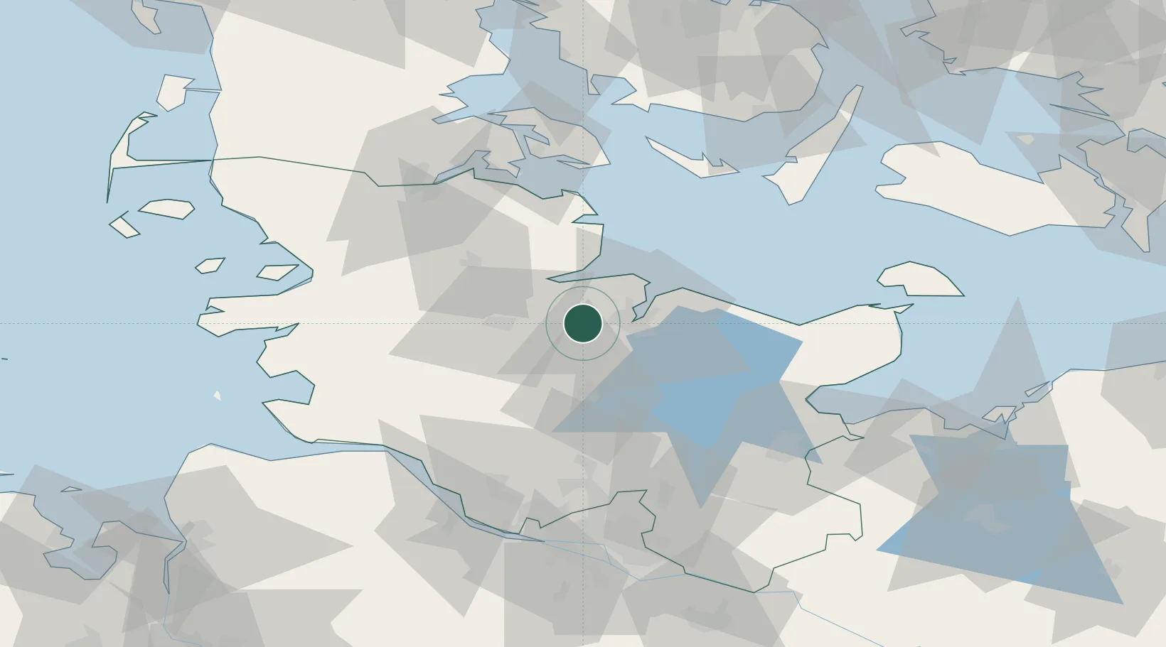
Location
Nearby Logistics Neighbours
Cities
- 1Bredenbek (Rendsburg)7 km
- 2Kronshagen8 km
- 3Flintbek10 km
- 4Kiel11 km
- 5Ellerbek14 km
Ports
- 1Kiel11 km
- 2Rendsburg19 km
- 3Eckernforde20 km
- 4Kappeln39 km
- 5Itzehoe53 km
Airports
- 1Kiel-Holtenau Airport14 km
- 2Hohn Air Base28 km
- 3Schleswig Air Base33 km
- 4Ærø Airfield68 km
- 5Heide-Büsum Airport72 km
Trade Zones
DatabookThe Record of Consolidated Knowledge
Germany beyond logistics?