Transport Functions
Rail
Road
Hub Profile
Place type
Populated place
Region
Bavaria
Time zone
Europe/Berlin
Elevation
398 m
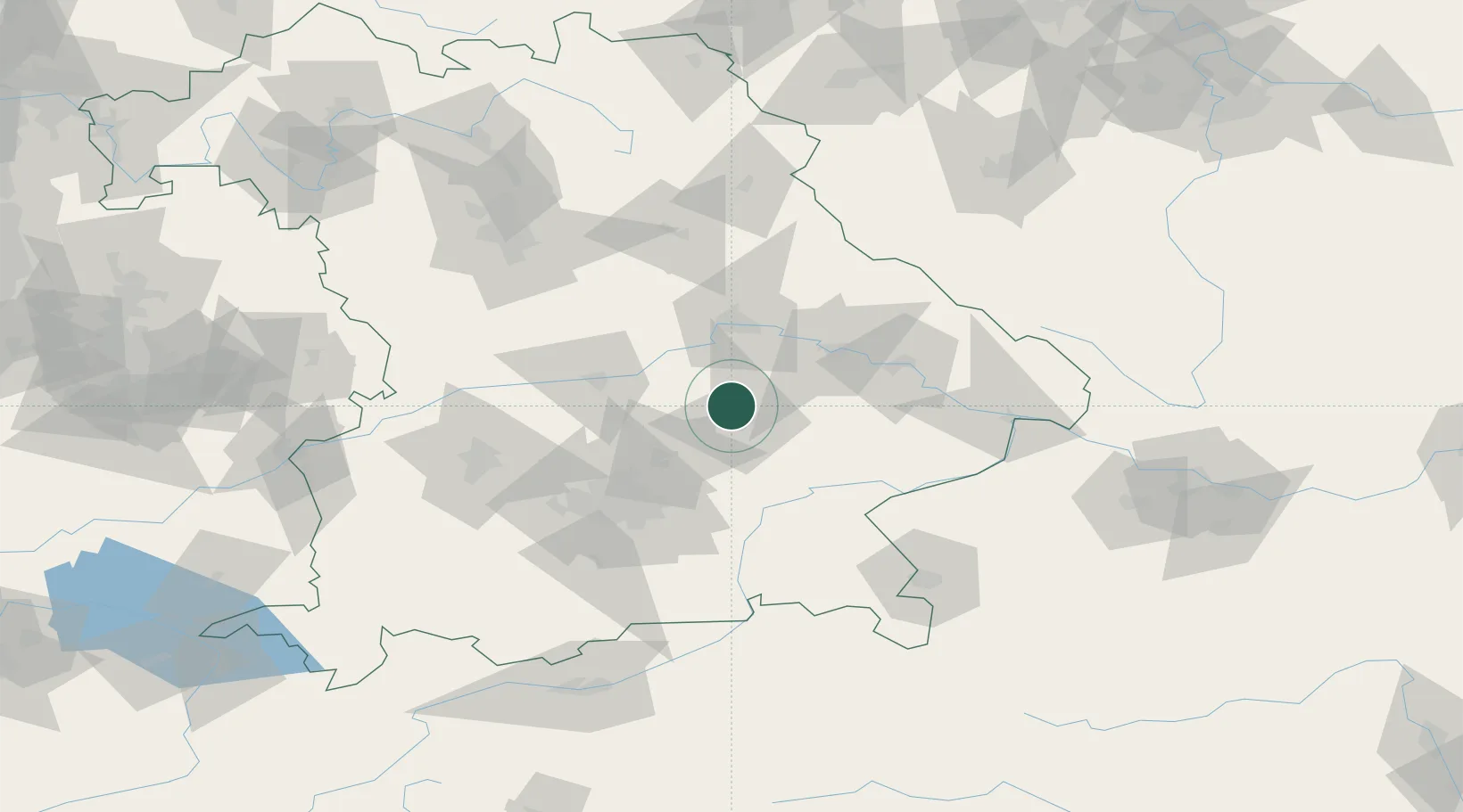
Location
Nearby Logistics Neighbours
Cities
- 1Ergoldsbach10 km
- 2Eching/Landshut13 km
- 3Gammelsdorf14 km
- 4Tiefenbach (Bei Landshut)15 km
- 5Blumberg16 km
Ports
- 1Nogaro330 km
- 2Monfalcone335 km
- 3Grado339 km
- 4Trieste354 km
- 5Porto Di Lido-Venezia359 km
Airports
- 1Landshut Airfield14 km
- 2Munich Airport39 km
- 3Ingolstadt Manching Airport43 km
- 4Neuburg Air Base66 km
- 5Hohenfels Army Airfield68 km
Trade Zones
DatabookThe Record of Consolidated Knowledge
Germany beyond logistics?