Transport Functions
Multimodal
Hub Profile
Place type
Populated place
Region
Bavaria
Time zone
Europe/Berlin
Elevation
550 m
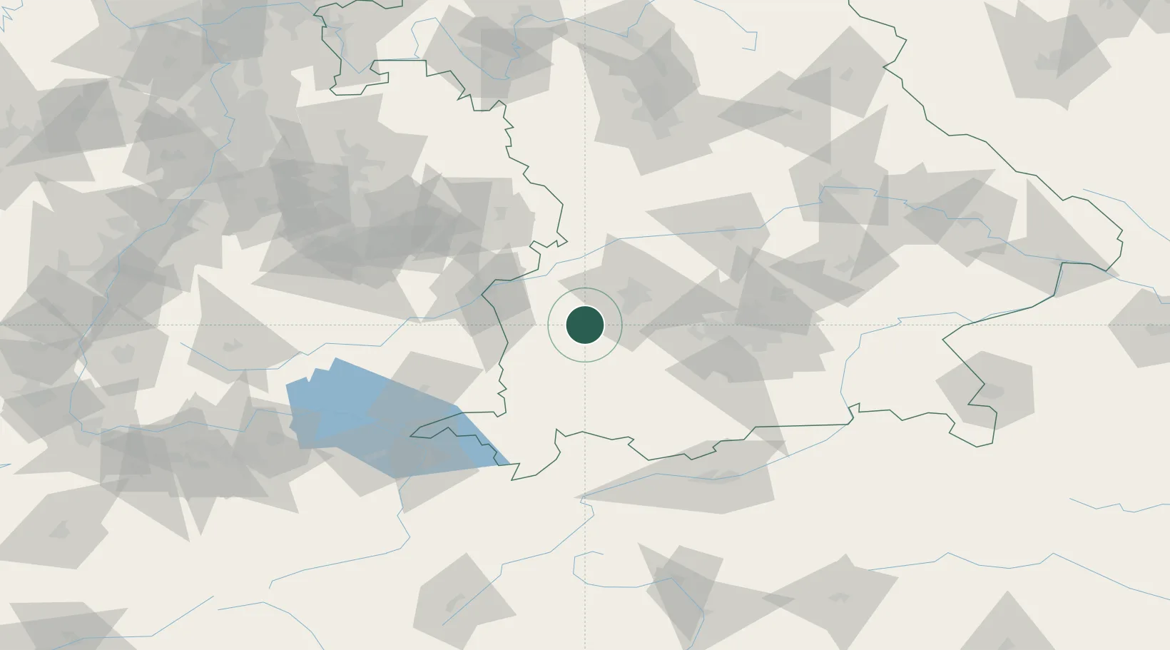
Location
Nearby Logistics Neighbours
Cities
- 1Walkertshofen4 km
- 2Langenneufnach6 km
- 3Eppishausen7 km
- 4Balzhausen8 km
- 5Fischach10 km
Ports
- 1Nogaro334 km
- 2Porto Di Lido-Venezia340 km
- 3Grado346 km
- 4Monfalcone350 km
- 5Porto Di Chioggia354 km
Airports
- 1Lechfeld Air Base19 km
- 2Augsburg Airport35 km
- 3Memmingen Allgau Airport36 km
- 4Laupheim Air Base51 km
- 5Altstetten Ultralight Field52 km
Trade Zones
- 1Freeport of Deggendorf184 km
- 2Livigno Free Trade Zone189 km
- 3ZFU Neuhof213 km
- 4ZFU Hautepierre219 km
- 5ZFU Mulhouse248 km
DatabookThe Record of Consolidated Knowledge
Germany beyond logistics?