Transport Functions
Road
Multimodal
Hub Profile
Place type
Local administrative seat
Region
Bavaria
Population
1,822
Time zone
Europe/Berlin
Elevation
553 m
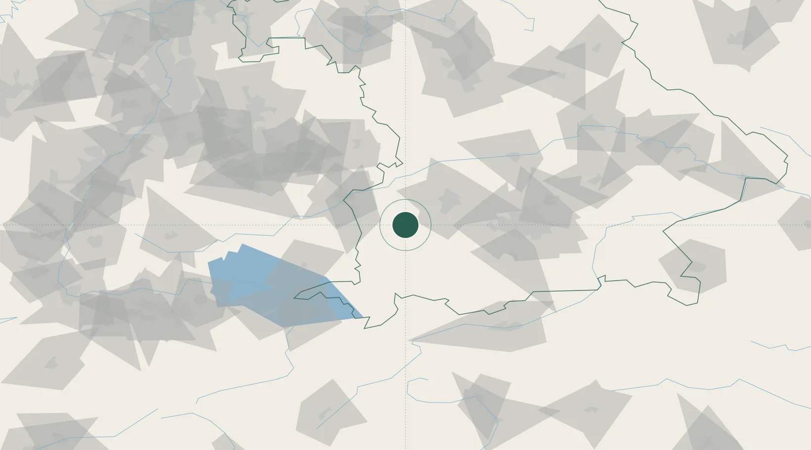
Location
Nearby Logistics Neighbours
Cities
- 1Reichertshofen7 km
- 2Balzhausen8 km
- 3Walkertshofen9 km
- 4Langenneufnach11 km
- 5Rammingen12 km
Ports
- 1Nogaro335 km
- 2Porto Di Lido-Venezia339 km
- 3Grado346 km
- 4Monfalcone351 km
- 5Porto Di Chioggia353 km
Airports
- 1Lechfeld Air Base26 km
- 2Memmingen Allgau Airport29 km
- 3Augsburg Airport42 km
- 4Laupheim Air Base45 km
- 5Oberpfaffenhofen Airport58 km
Trade Zones
- 1Livigno Free Trade Zone184 km
- 2Freeport of Deggendorf192 km
- 3ZFU Neuhof208 km
- 4ZFU Hautepierre214 km
- 5ZFU Mulhouse241 km
DatabookThe Record of Consolidated Knowledge
Germany beyond logistics?