Transport Functions
Multimodal
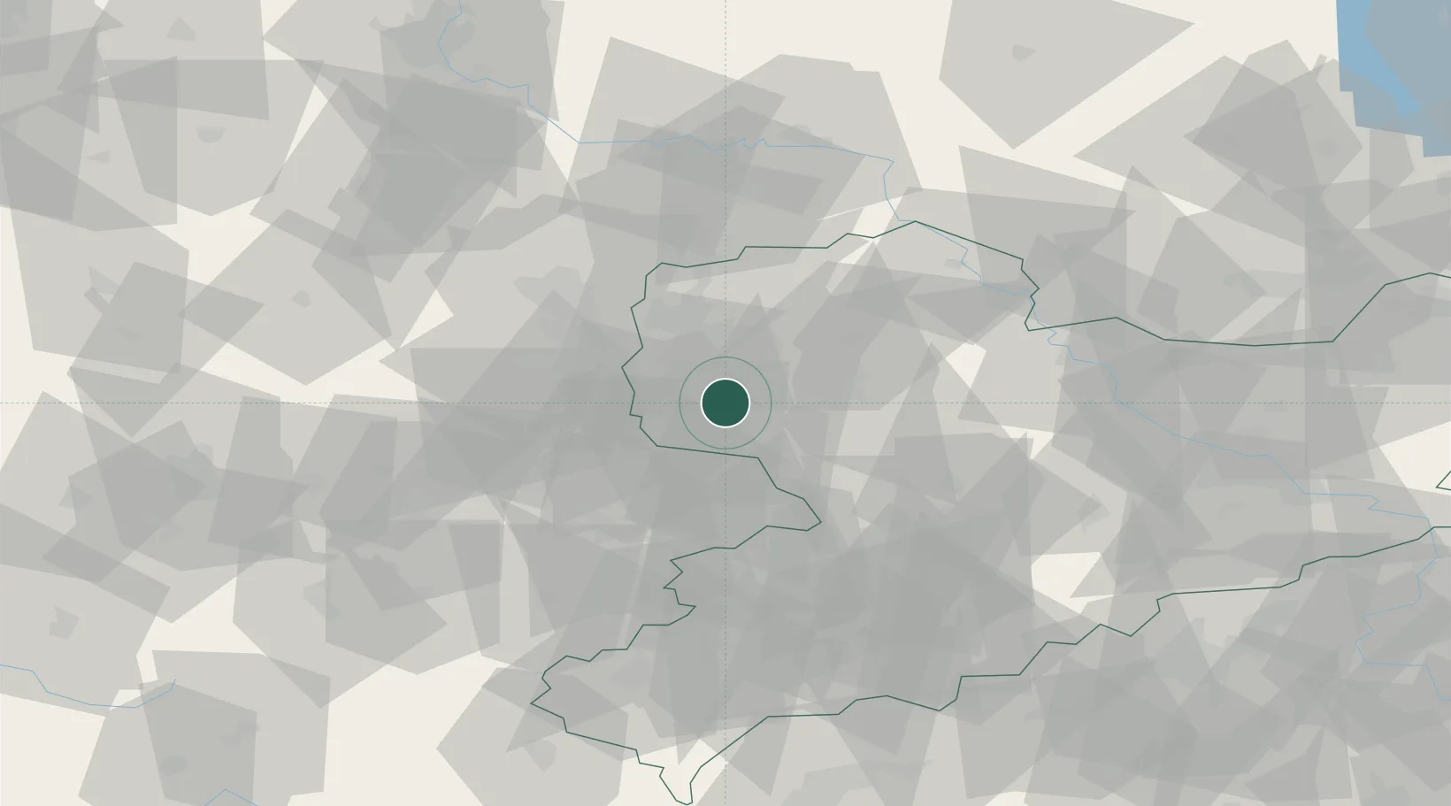
Hub Profile
Place type
Populated place
Region
Saxony-Anhalt
Population
340
Time zone
Europe/Berlin
Elevation
404 m
Location
Nearby Logistics Neighbours
Cities
- 1Böhlen1 km
- 2Neukieritzsch4 km
- 3Espenhain5 km
- 4Lobstädt8 km
- 5Wachau10 km
Airports
- 1Leipzig–Altenburg Airport25 km
- 2Leipzig/Halle Airport27 km
- 3Holzdorf Air Base83 km
- 4Zerbst Airfield91 km
- 5Dresden Airport96 km
Trade Zones
DatabookThe Record of Consolidated Knowledge
Germany beyond logistics?