Transport Functions
Rail
Road
Hub Profile
Place type
Populated place
Region
Saxony
Time zone
Europe/Berlin
Elevation
141 m
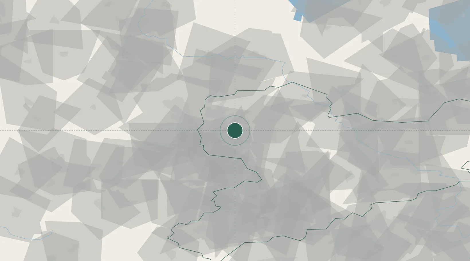
Location
Nearby Logistics Neighbours
Cities
- 1Grosspösna5 km
- 2Rötha10 km
- 3Belgershain10 km
- 4Böhlen10 km
- 5Borsdorf10 km
Airports
- 1Leipzig/Halle Airport21 km
- 2Leipzig–Altenburg Airport34 km
- 3Holzdorf Air Base74 km
- 4Zerbst Airfield82 km
- 5Dresden Airport94 km
Trade Zones
DatabookThe Record of Consolidated Knowledge
Germany beyond logistics?