Transport Functions
Rail
Road
Hub Profile
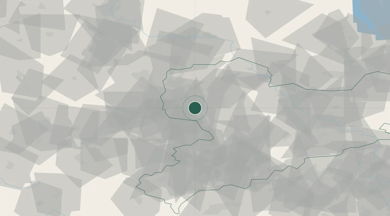
Place type
Local administrative seat
Region
Saxony
Population
2,843
Time zone
Europe/Berlin
Elevation
155 m
Location
Nearby Logistics Neighbours
Cities
- 1Neukieritzsch3 km
- 2Rötha5 km
- 3Lobstädt6 km
- 4Böhlen6 km
- 5Borna8 km
Airports
- 1Leipzig–Altenburg Airport23 km
- 2Leipzig/Halle Airport31 km
- 3Holzdorf Air Base81 km
- 4Dresden Airport91 km
- 5Zerbst Airfield94 km
Trade Zones
DatabookThe Record of Consolidated Knowledge
Germany beyond logistics?