UN/LOCODE hub · Germany
DEHWT
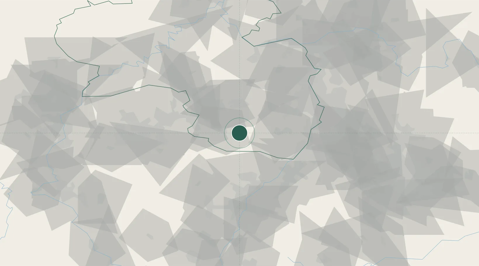
Hinterweidenthal
49.2000°, 7.7500°
1,727
Population
2
Transport functions
Transport Functions
Rail
Road
Hub Profile
Place type
Local administrative seat
Region
Rheinland-Pfalz
Population
1,727
Time zone
Europe/Berlin
Elevation
224 m
Location
Nearby Logistics Neighbours
Cities
- 1Münchweiler an der Rodalbe4 km
- 2Ruppertsweiler5 km
- 3Merzalben6 km
- 4Clausen9 km
- 5Leimen (Pfalz)9 km
Airports
- 1Ramstein Air Base29 km
- 2Saarbrücken Airport47 km
- 3Karlsruhe Baden-Baden Airport53 km
- 4Phalsbourg-Bourscheid Air Base63 km
- 5Mannheim-City Airport63 km
Trade Zones
- 1ZFU La Cité Behren-lès-Forbach60 km
- 2ZFU Hautepierre68 km
- 3ZFU Neuhof73 km
- 4ZFU Metz116 km
- 5ZFU Woippy-Metz117 km
DatabookThe Record of Consolidated Knowledge
Germany beyond logistics?