Transport Functions
Port
Rail
Road
Hub Profile
Region
HE
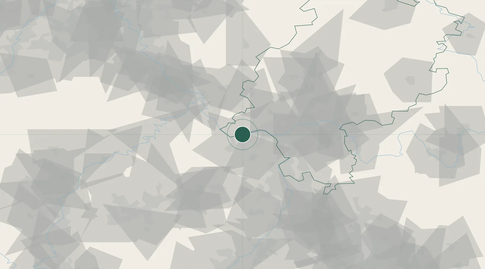
Location
Nearby Logistics Neighbours
Cities
- 1Hattenheim4 km
- 2Gau Algesheim6 km
- 3Kempten6 km
- 4Rüdesheim am Rhein6 km
- 5Ockenheim8 km
Airports
- 1Mainz-Finthen Airfield11 km
- 2Wiesbaden Army Airfield24 km
- 3Frankfurt Main Airport40 km
- 4Frankfurt-Egelsbach Airport46 km
- 5Frankfurt-Hahn Airport53 km
Trade Zones
- 1ZFU La Cité Behren-lès-Forbach121 km
- 2Luxembourg Free Port134 km
- 3Rheinische Revier SWZ153 km
- 4ZFU Hautepierre158 km
- 5ZFU Neuhof163 km
DatabookThe Record of Consolidated Knowledge
Germany beyond logistics?