Transport Functions
Rail
Road
Hub Profile
Place type
Local administrative seat
Region
Mecklenburg-Vorpommern
Population
12,128
Time zone
Europe/Berlin
Elevation
26 m
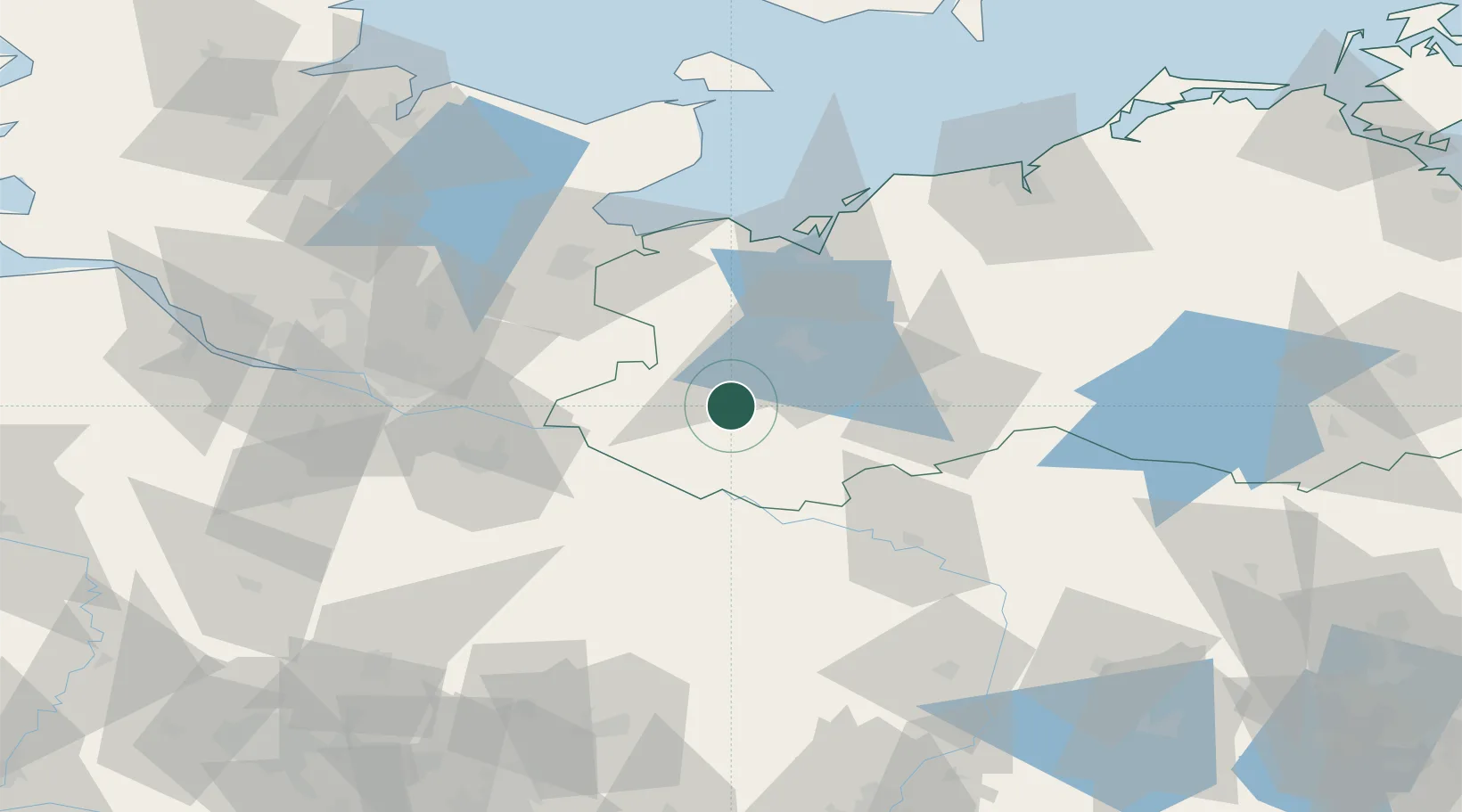
Location
Nearby Logistics Neighbours
Cities
- 1Bobzin5 km
- 2Wittenburg12 km
- 3Rastow17 km
- 4Malliss26 km
- 5Neustadt-Glewe27 km
Ports
- 1Wismar55 km
- 2Lubeck59 km
- 3Lubeck-Travemunde63 km
- 4Neustadt78 km
- 5Hamburg84 km
Airports
- 1Lübeck Blankensee Airport52 km
- 2Hamburg Helmut Schmidt Airport82 km
- 3Faßberg Air Base88 km
- 4Hamburg-Finkenwerder Airport90 km
- 5Rostock-Laage Airport90 km
Trade Zones
DatabookThe Record of Consolidated Knowledge
Germany beyond logistics?