Transport Functions
Rail
Road
Hub Profile
Place type
Populated place
Region
Mecklenburg-Vorpommern
Time zone
Europe/Berlin
Elevation
52 m
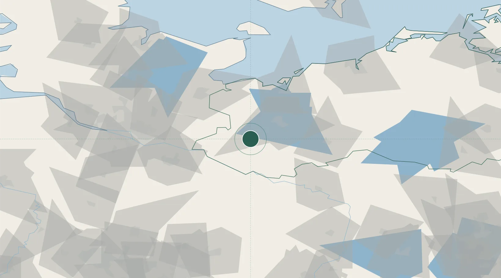
Location
Nearby Logistics Neighbours
Cities
- 1Hagenow5 km
- 2Wittenburg7 km
- 3Rastow20 km
- 4Boizenburg29 km
- 5Vockfey29 km
Ports
- 1Wismar53 km
- 2Lubeck54 km
- 3Lubeck-Travemunde58 km
- 4Neustadt73 km
- 5Hamburg80 km
Airports
- 1Lübeck Blankensee Airport47 km
- 2Hamburg Helmut Schmidt Airport78 km
- 3Hamburg-Finkenwerder Airport86 km
- 4Faßberg Air Base88 km
- 5Rostock-Laage Airport91 km
Trade Zones
DatabookThe Record of Consolidated Knowledge
Germany beyond logistics?