Transport Functions
Port
Road
Hub Profile
Place type
Populated place
Region
Brandenburg
Time zone
Europe/Berlin
Elevation
53 m
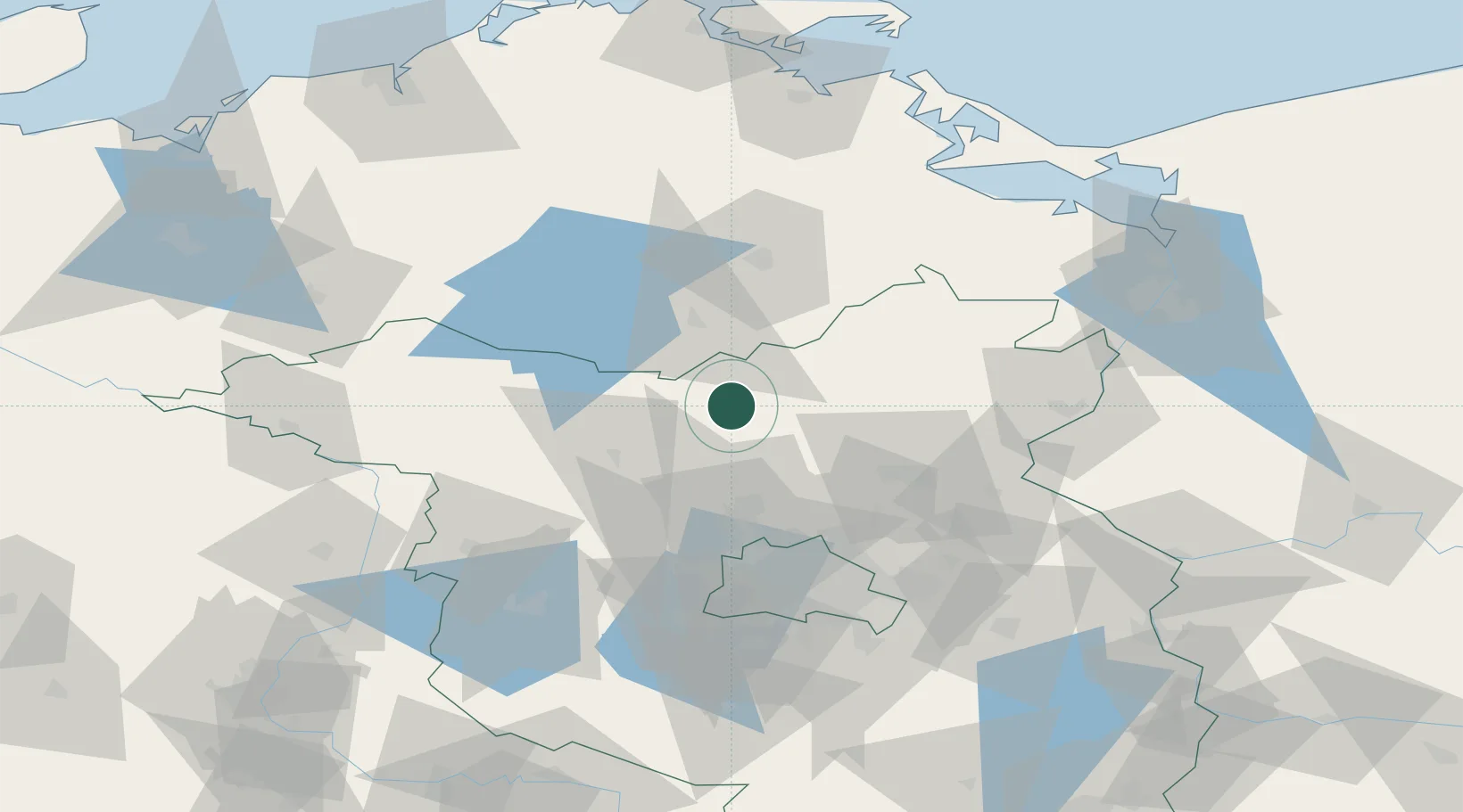
Location
Nearby Logistics Neighbours
Cities
- 1Ribbeck8 km
- 2Gransee10 km
- 3Zehdenick15 km
- 4Zehdenick16 km
- 5Grosszerlang19 km
Ports
- 1Szczecin98 km
- 2Police106 km
- 3Wolgast115 km
- 4Swinoujscie117 km
- 5Rostock133 km
Airports
Trade Zones
- 1Szczecin Duty Free Zone100 km
- 2Kostrzyń-Słubice SEZ112 km
- 3Swinoujscie Duty Free Zone116 km
- 4Freeport of Kiel242 km
- 5Legnica SEZ (Legnicka SSE)275 km
DatabookThe Record of Consolidated Knowledge
Germany beyond logistics?