Transport Functions
Port
Road
Hub Profile
Place type
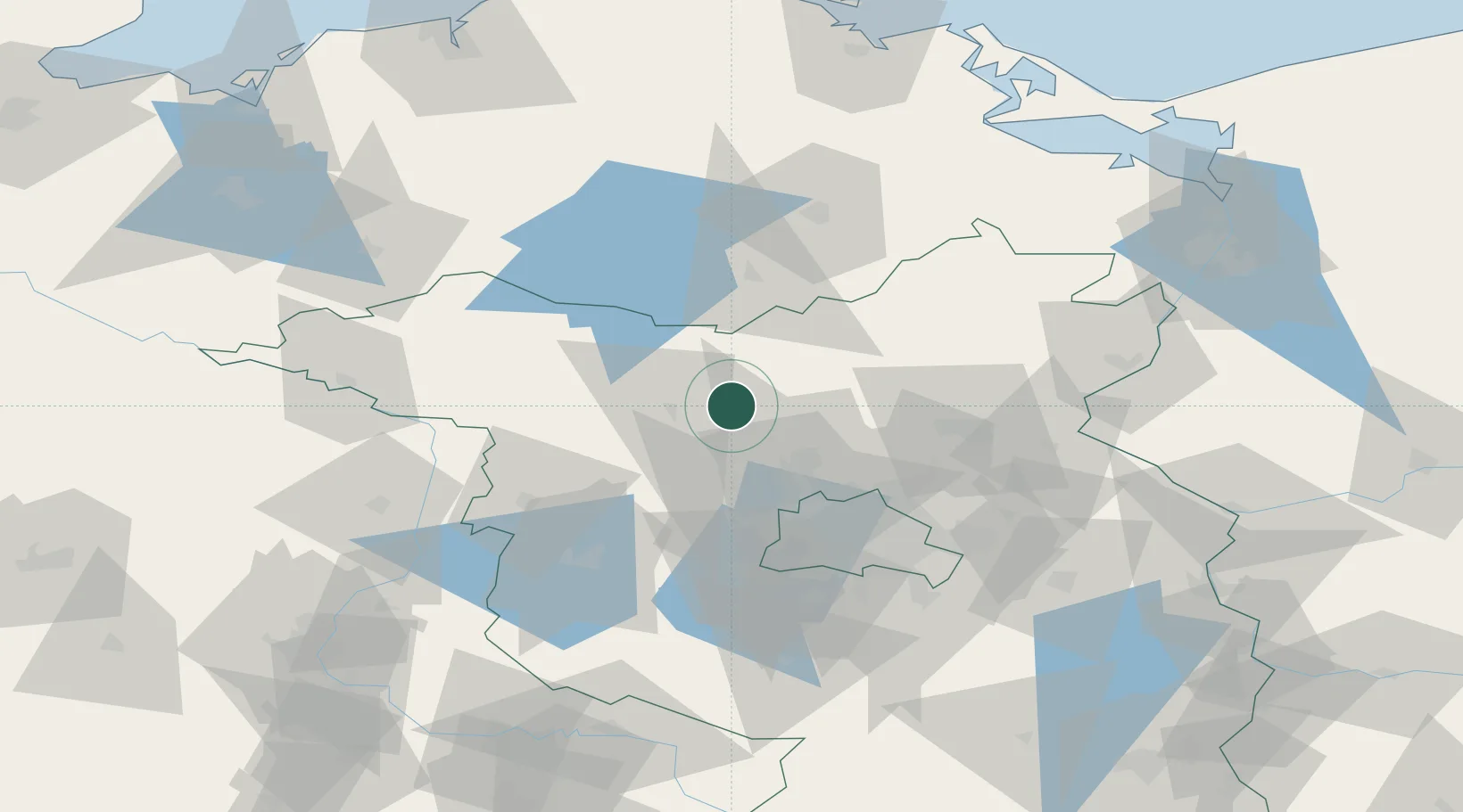
Populated place
Region
Brandenburg
Time zone
Europe/Berlin
Elevation
48 m
Location
Nearby Logistics Neighbours
Cities
- 1Gransee13 km
- 2Rheinsberg20 km
- 3Märkisch Linden20 km
- 4Werder Bei Neuruppin20 km
- 5Dannenwalde21 km
Ports
- 1Szczecin116 km
- 2Police126 km
- 3Wolgast135 km
- 4Swinoujscie138 km
- 5Rostock142 km
Airports
- 1Berlin Brandenburg Airport72 km
- 2Neubrandenburg Trollenhagen Airport77 km
- 3Zerbst Airfield119 km
- 4Rostock-Laage Airport120 km
- 5Heringsdorf Airport130 km
Trade Zones
- 1Kostrzyń-Słubice SEZ117 km
- 2Szczecin Duty Free Zone118 km
- 3Swinoujscie Duty Free Zone137 km
- 4Freeport of Kiel243 km
- 5Legnica SEZ (Legnicka SSE)272 km
DatabookThe Record of Consolidated Knowledge
Germany beyond logistics?