Transport Functions
Road
Multimodal
Hub Profile
Place type
Local administrative seat
Region
Bavaria
Population
1,345
Time zone
Europe/Berlin
Elevation
449 m
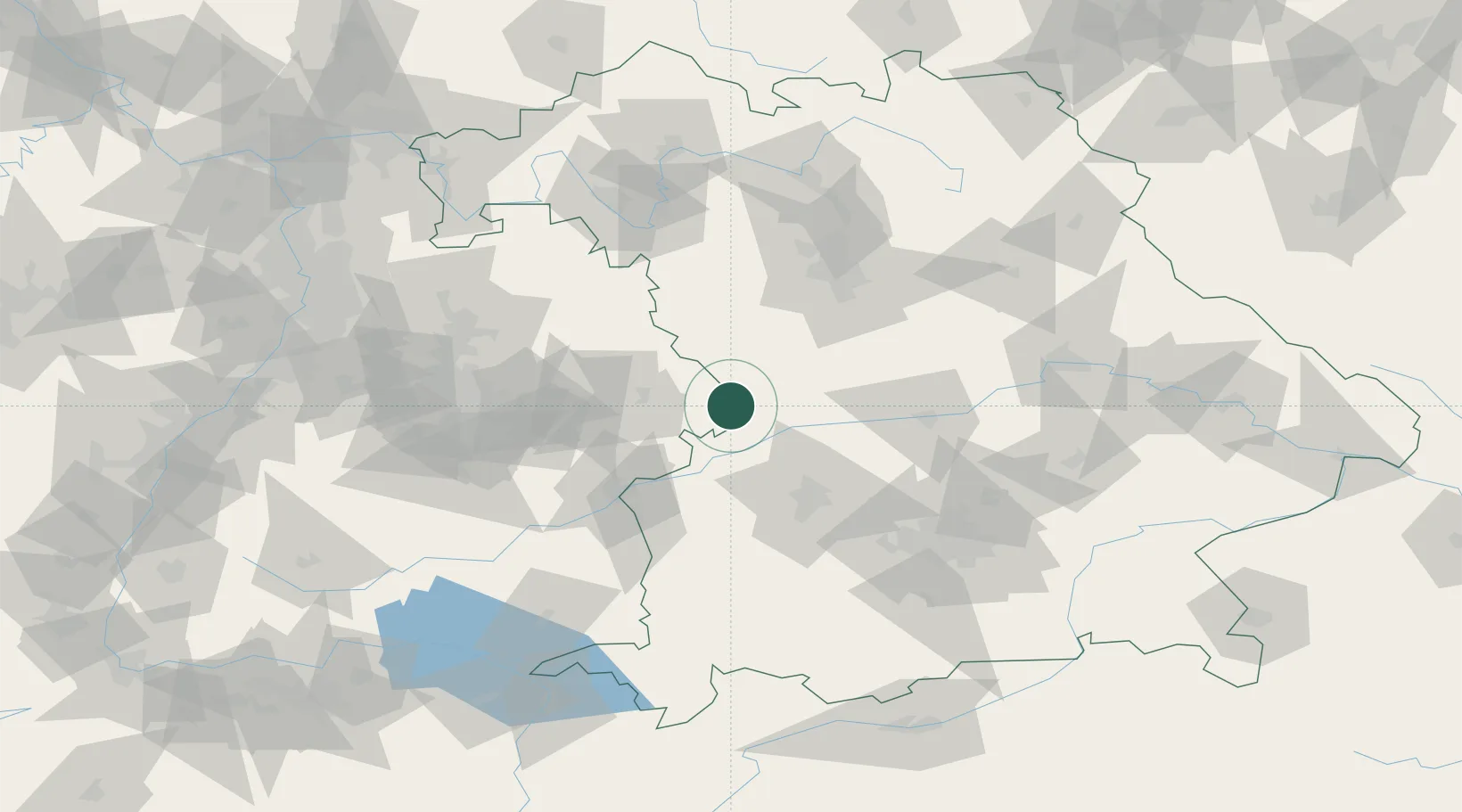
Location
Nearby Logistics Neighbours
Cities
- 1Riesbürg6 km
- 2Mönchsdeggingen6 km
- 3Huisheim13 km
- 4Oettingen in Bayern16 km
- 5Fremdingen17 km
Ports
- 1Nogaro394 km
- 2Porto Di Lido-Venezia405 km
- 3Grado405 km
- 4Monfalcone408 km
- 5Porto Di Chioggia421 km
Airports
- 1Neuburg Air Base52 km
- 2Augsburg Airport53 km
- 3Adolf Würth Airport63 km
- 4Lechfeld Air Base75 km
- 5Ingolstadt Manching Airport75 km
Trade Zones
- 1Freeport of Deggendorf175 km
- 2ZFU Neuhof205 km
- 3ZFU Hautepierre209 km
- 4Livigno Free Trade Zone256 km
- 5Podbořany Industrial Zone261 km
DatabookThe Record of Consolidated Knowledge
Germany beyond logistics?