Transport Functions
Road
Multimodal
Hub Profile
Place type
Local administrative seat
Region
Bavaria
Population
2,192
Time zone
Europe/Berlin
Elevation
446 m
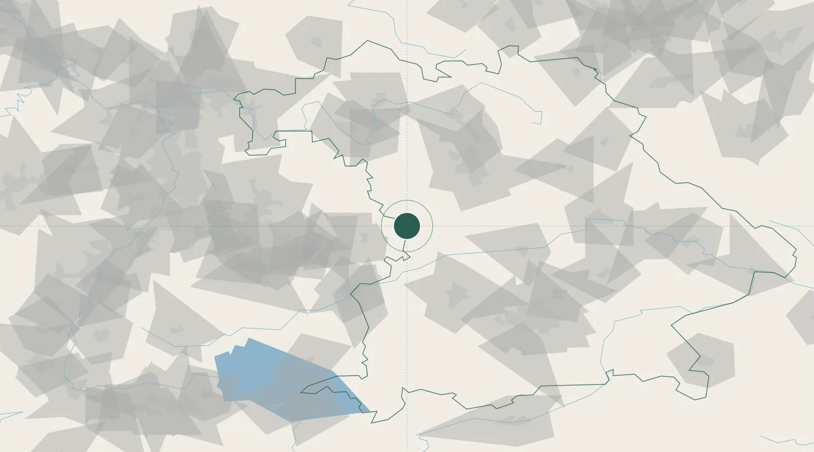
Location
Nearby Logistics Neighbours
Cities
- 1Weiltingen8 km
- 2Wilburgstetten8 km
- 3Oettingen in Bayern10 km
- 4Riesbürg13 km
- 5Reimlingen17 km
Ports
- 1Nogaro411 km
- 2Grado422 km
- 3Porto Di Lido-Venezia422 km
- 4Monfalcone423 km
- 5Porto Di Chioggia438 km
Airports
- 1Adolf Würth Airport53 km
- 2Niederstetten Army Air Base60 km
- 3Neuburg Air Base62 km
- 4Augsburg Airport69 km
- 5Nuremberg Airport74 km
Trade Zones
- 1Freeport of Deggendorf179 km
- 2ZFU Neuhof204 km
- 3ZFU Hautepierre207 km
- 4Podbořany Industrial Zone254 km
- 5ZFU La Cité Behren-lès-Forbach259 km
DatabookThe Record of Consolidated Knowledge
Germany beyond logistics?