UN/LOCODE hub · Germany
DEOTI
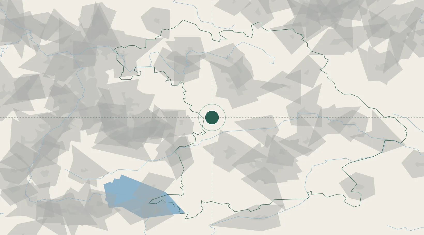
Oettingen in Bayern
48.9500°, 10.6000°
5,336
Population
2
Transport functions
Transport Functions
Rail
Road
Hub Profile
Place type
Populated place
Region
Bavaria
Population
5,336
Time zone
Europe/Berlin
Elevation
420 m
Location
Nearby Logistics Neighbours
Cities
- 1Fremdingen10 km
- 2Heidenheim13 km
- 3Weiltingen14 km
- 4Gnotzheim16 km
- 5Riesbürg16 km
Ports
- 1Nogaro404 km
- 2Grado415 km
- 3Monfalcone416 km
- 4Porto Di Lido-Venezia417 km
- 5Porto Di Chioggia433 km
Airports
- 1Neuburg Air Base52 km
- 2Adolf Würth Airport62 km
- 3Augsburg Airport63 km
- 4Niederstetten Army Air Base68 km
- 5Nuremberg Airport70 km
Trade Zones
- 1Freeport of Deggendorf169 km
- 2ZFU Neuhof213 km
- 3ZFU Hautepierre217 km
- 4Podbořany Industrial Zone247 km
- 5Žatec - Triangle Strategic Industrial Zone265 km
DatabookThe Record of Consolidated Knowledge
Germany beyond logistics?