Transport Functions
Road
Multimodal
Hub Profile
Region
BW
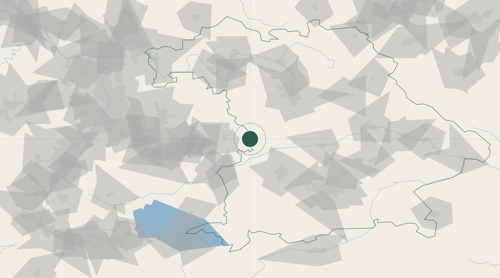
Location
Nearby Logistics Neighbours
Cities
- 1Reimlingen6 km
- 2Mönchsdeggingen12 km
- 3Hohenlohe13 km
- 4Fremdingen13 km
- 5Oettingen in Bayern16 km
Ports
- 1Nogaro400 km
- 2Porto Di Lido-Venezia410 km
- 3Grado411 km
- 4Monfalcone413 km
- 5Porto Di Chioggia426 km
Airports
- 1Adolf Würth Airport57 km
- 2Neuburg Air Base58 km
- 3Augsburg Airport59 km
- 4Niederstetten Army Air Base70 km
- 5Lechfeld Air Base80 km
Trade Zones
- 1Freeport of Deggendorf180 km
- 2ZFU Neuhof200 km
- 3ZFU Hautepierre204 km
- 4Livigno Free Trade Zone259 km
- 5ZFU La Cité Behren-lès-Forbach259 km
DatabookThe Record of Consolidated Knowledge
Germany beyond logistics?