UN/LOCODE hub · Germany
DEVIS
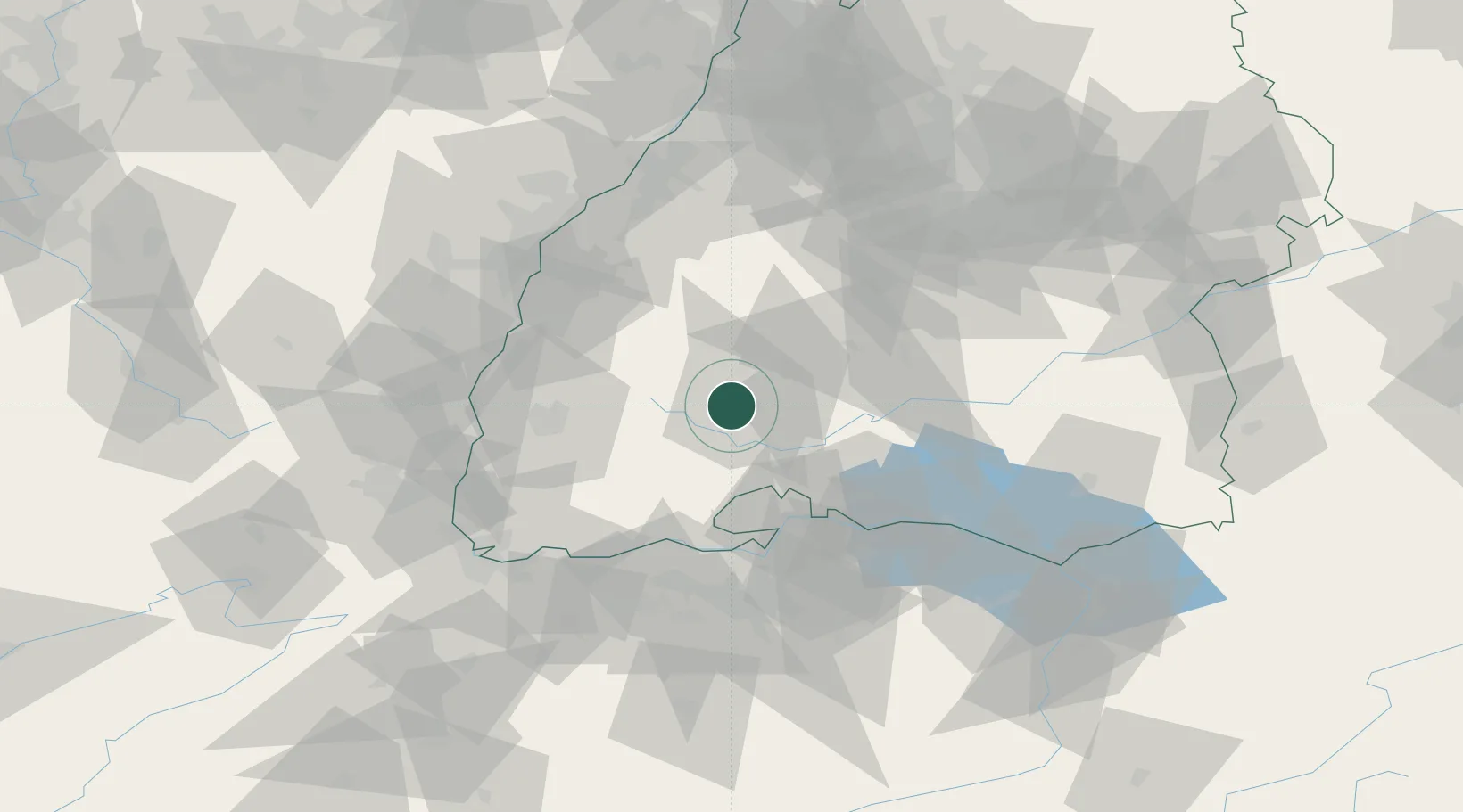
Villingen-Schwenningen
48.0667°, 8.4500°
81,770
Population
2
Transport functions
Transport Functions
Rail
Road
Hub Profile
Place type
District seat
Region
Baden-Wurttemberg
Population
81,770
Time zone
Europe/Berlin
Elevation
757 m
Location
Nearby Logistics Neighbours
Cities
- 1Monchweiler4 km
- 2Unterkirnach7 km
- 3Dauchingen8 km
- 4Bad Dürrheim8 km
- 5Wolterdingen11 km
Ports
- 1Genova410 km
- 2Savona417 km
- 3Rada Di Vado423 km
- 4Porto Di Lido-Venezia423 km
- 5Chiavari - Lavagna424 km
Airports
- 1Donaueschingen-Villingen Airfield12 km
- 2Lahr Airport57 km
- 3Zürich Airport68 km
- 4Mengen-Hohentengen Airfield69 km
- 5Dübendorf Air Base76 km
Trade Zones
- 1ZFU Neuhof73 km
- 2ZFU Hautepierre81 km
- 3ZFU Mulhouse90 km
- 4ZFU Belfort131 km
- 5ZFU Montbéliard139 km
DatabookThe Record of Consolidated Knowledge
Germany beyond logistics?