Transport Functions
Road
Multimodal
Hub Profile
Place type
Populated place
Region
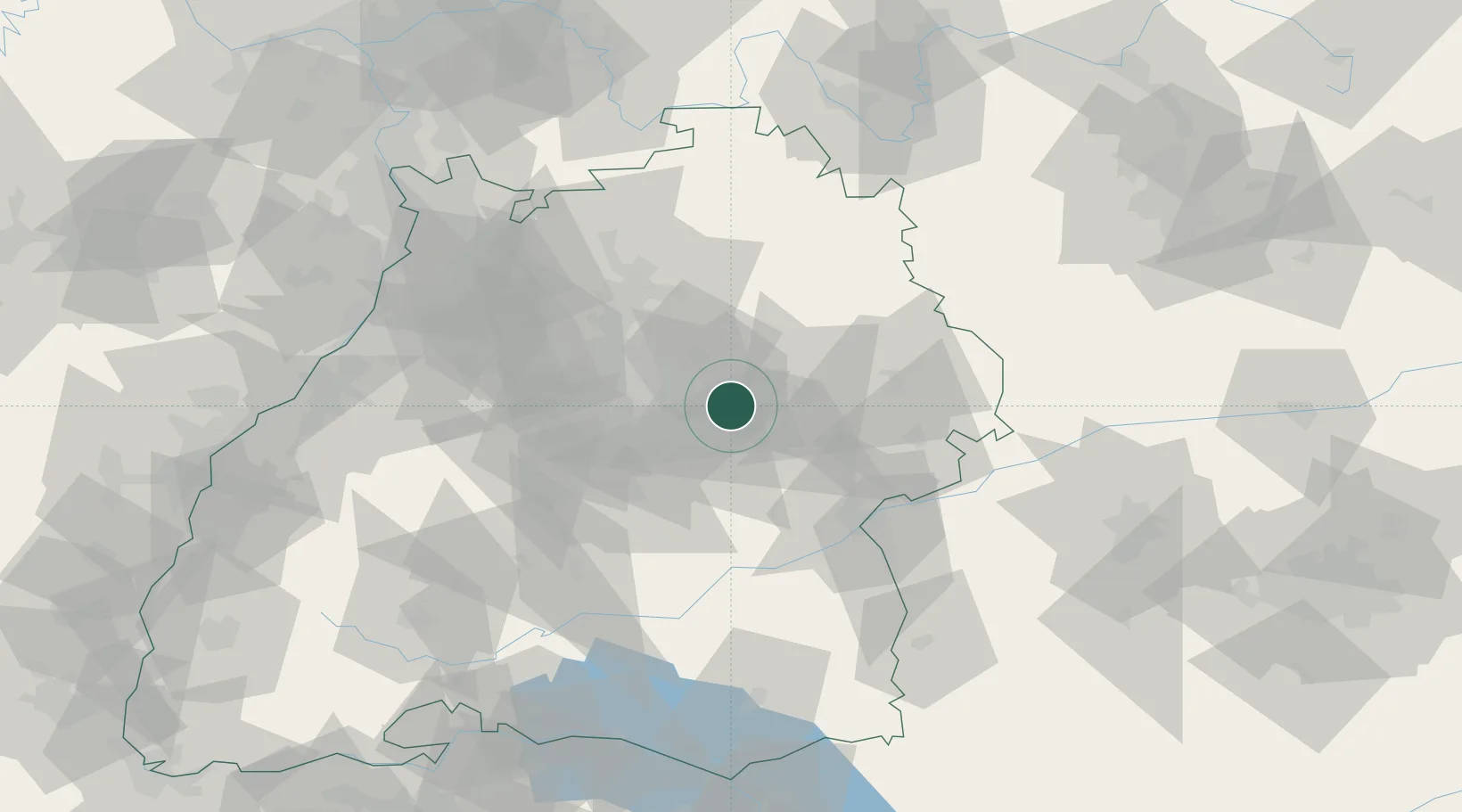
Baden-Wurttemberg
Time zone
Europe/Berlin
Elevation
506 m
Location
Nearby Logistics Neighbours
Cities
- 1Wangen7 km
- 2Ebersbach an der Fils8 km
- 3Wangen8 km
- 4Baltmannsweiler9 km
- 5Birenbach9 km
Ports
- 1Nogaro433 km
- 2Porto Di Lido-Venezia433 km
- 3Bruxelles439 km
- 4Grado445 km
- 5Porto Di Chioggia446 km
Airports
- 1Stuttgart Airport26 km
- 2Adolf Würth Airport41 km
- 3Laupheim Air Base68 km
- 4Niederstetten Army Air Base74 km
- 5Mengen-Hohentengen Airfield82 km
Trade Zones
- 1ZFU Neuhof134 km
- 2ZFU Hautepierre138 km
- 3ZFU La Cité Behren-lès-Forbach196 km
- 4ZFU Mulhouse200 km
- 5ZFU Belfort239 km
DatabookThe Record of Consolidated Knowledge
Germany beyond logistics?