Transport Functions
Rail
Road
Airport
Hub Profile
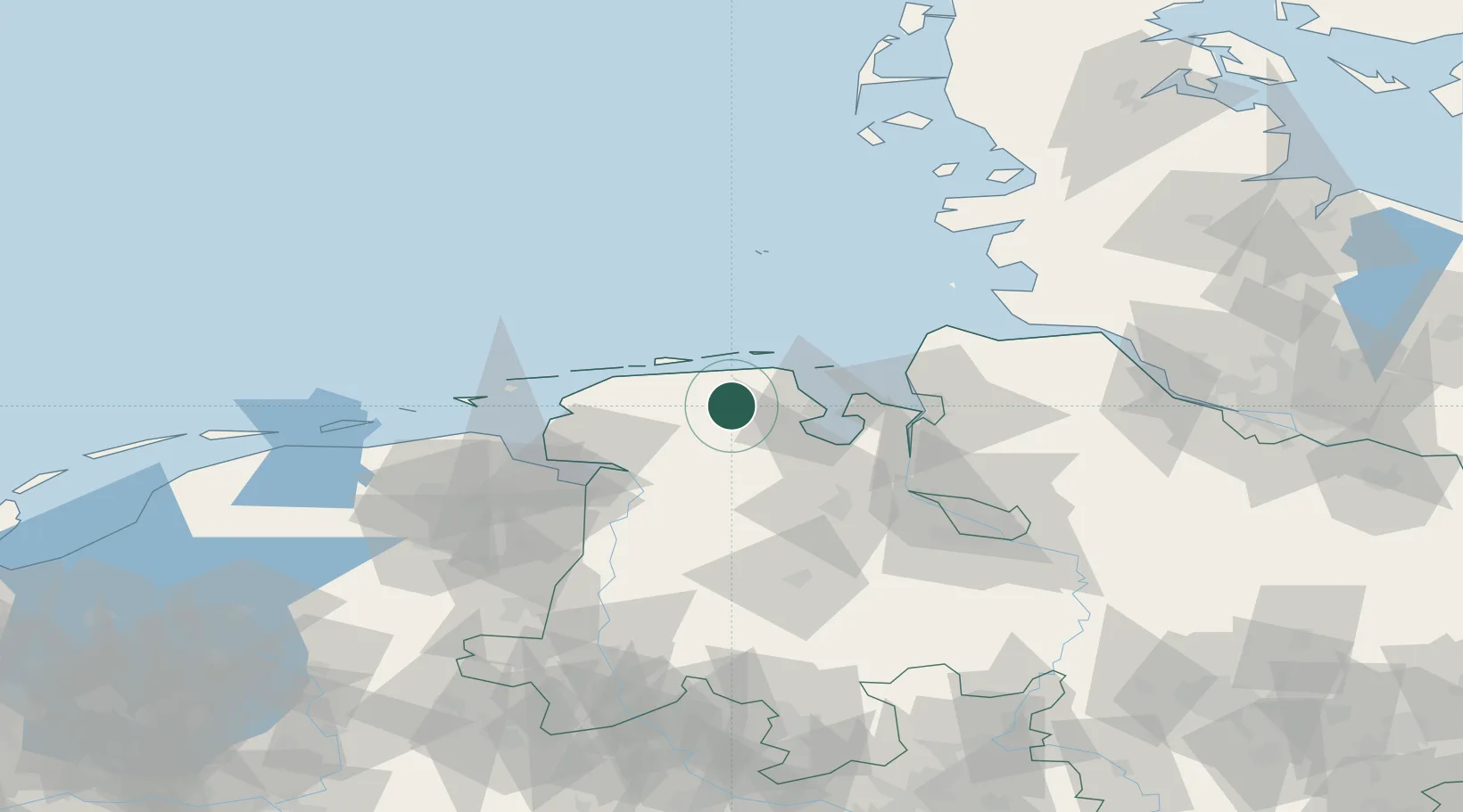
Place type
District seat
Region
Lower Saxony
Population
21,355
Time zone
Europe/Berlin
Elevation
2 m
Location
Nearby Logistics Neighbours
Cities
- 1Reepsholt10 km
- 2Upschört12 km
- 3Hesel12 km
- 4Marcardsmoor14 km
- 5Carolinensiel15 km
Ports
- 1Wilhelmshaven26 km
- 2Leer43 km
- 3Nordenham47 km
- 4Emden48 km
- 5Bremerhaven53 km
Airports
- 1Wittmundhafen Air Base8 km
- 2Harlesiel Airfield16 km
- 3Wangerooge Airport26 km
- 4Baltrum Airport32 km
- 5Norderney Airport40 km
Trade Zones
DatabookThe Record of Consolidated Knowledge
Germany beyond logistics?