UN/LOCODE hub · Germany
DEFBL

Fischbachtal

49.7667°, 8.7833°
1
Transport functions

Transport Functions

Multimodal
UN/LOCODE

Hub Profile

Region
HE
GeoNames

Location

Location of DEFBL
Natural Earth 10m (public domain) · HE · DEFBL · 49.77, 8.78GoogleOSMYandex

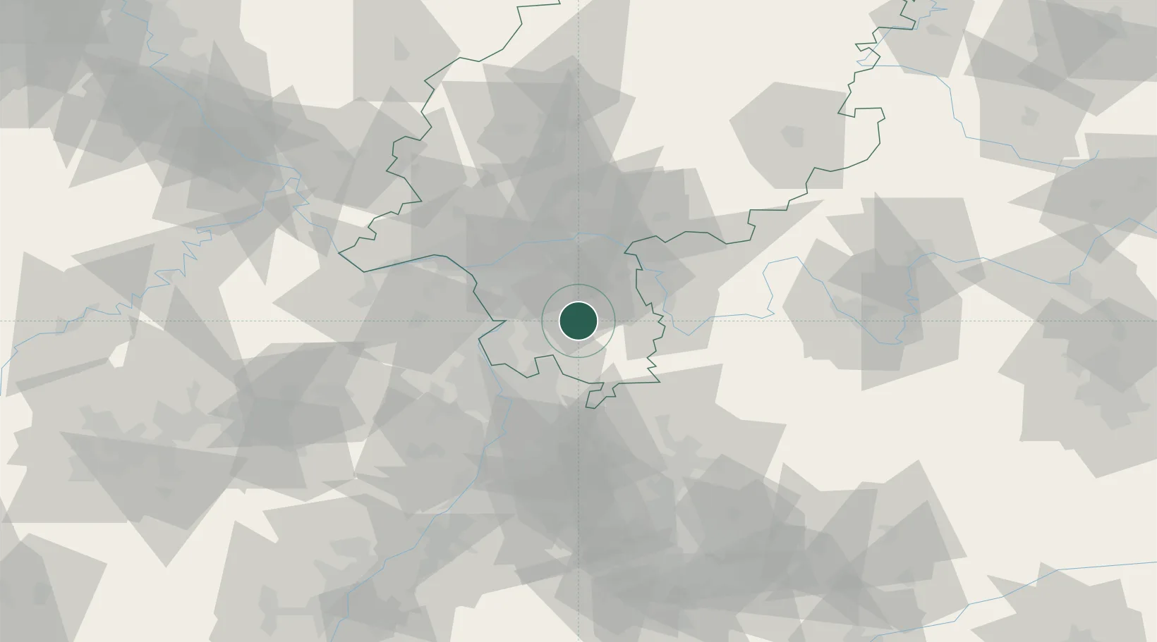
Nearby Logistics Neighbours

Cities
  1. 1Fraenkisch Crumbach6 km
  2. 2Ober Ramstadt7 km
  3. 3Lautertal (Odenwald)7 km
  4. 4Otzberg9 km
  5. 5Rossdorf10 km
Nearest neighbours — logibook spatial index (haversine) over the source coordinates
Ports
  1. 1Bruxelles338 km
  2. 2Antwerpen349 km
  3. 3Dordrecht369 km
  4. 4Bremen374 km
  5. 5Oldenburg375 km
Nearest neighbours — logibook spatial index (haversine) over the source coordinates
Airports
  1. 1Frankfurt-Egelsbach Airport24 km
  2. 2Frankfurt Main Airport33 km
  3. 3Mannheim-City Airport38 km
  4. 4Wiesbaden Army Airfield46 km
  5. 5Mainz-Finthen Airfield51 km
Nearest neighbours — logibook spatial index (haversine) over the source coordinates
Trade Zones
  1. 1ZFU La Cité Behren-lès-Forbach150 km
  2. 2ZFU Hautepierre153 km
  3. 3ZFU Neuhof155 km
  4. 4Luxembourg Free Port185 km
  5. 5ZFU Woippy-Metz202 km
Nearest neighbours — logibook spatial index (haversine) over the source coordinates
DatabookThe Record of Consolidated Knowledge
Germany beyond logistics?
Browse databook

All Sources

LocationsUN/LOCODE
UN/LOCODE — free
Portsthe NGA World Port Index
Public domain (US gov)
AirportsOurAirports
Public domain
Trade Zonesthe World Bank SEZ database
CC BY 4.0
Trade ZonesOpen Zone Map
CC BY
← Germany locations