Transport Functions
Rail
Road
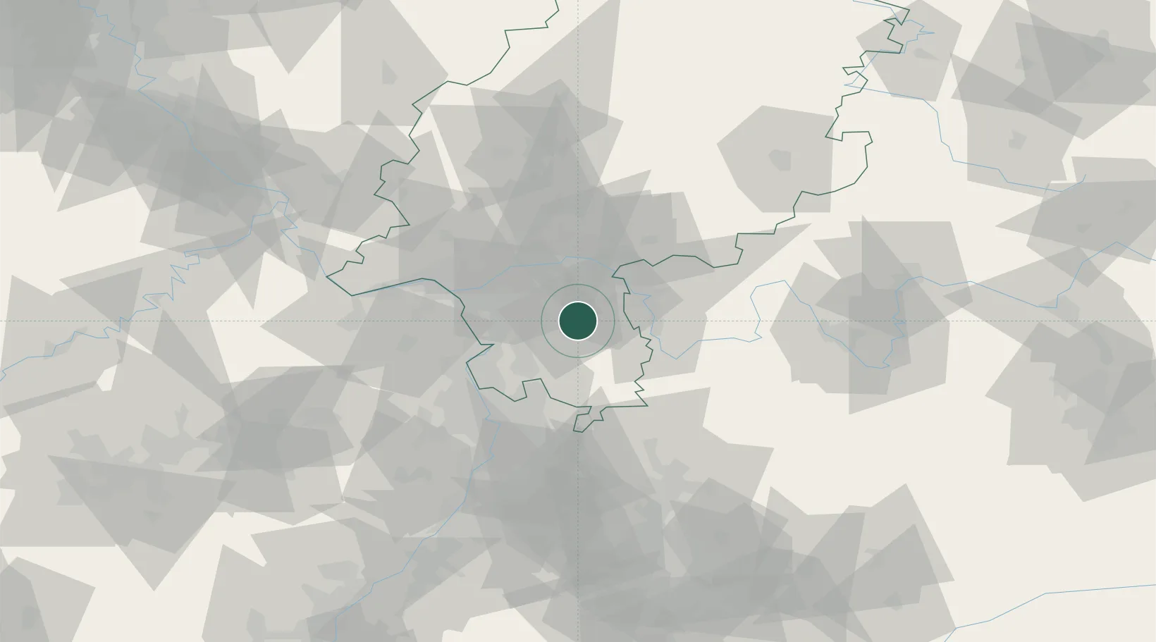
Hub Profile
Place type
Populated place
Region
Hesse
Population
13,870
Time zone
Europe/Berlin
Elevation
153 m
Location
Nearby Logistics Neighbours
Cities
- 1Lengfeld6 km
- 2Münster6 km
- 3Rossdorf6 km
- 4Otzberg7 km
- 5Ober Ramstadt9 km
Airports
- 1Frankfurt-Egelsbach Airport17 km
- 2Frankfurt Main Airport27 km
- 3Wiesbaden Army Airfield42 km
- 4Mannheim-City Airport49 km
- 5Mainz-Finthen Airfield50 km
Trade Zones
- 1ZFU La Cité Behren-lès-Forbach158 km
- 2ZFU Hautepierre164 km
- 3ZFU Neuhof167 km
- 4Luxembourg Free Port189 km
- 5Rheinische Revier SWZ209 km
DatabookThe Record of Consolidated Knowledge
Germany beyond logistics?