Transport Functions
Rail
Road
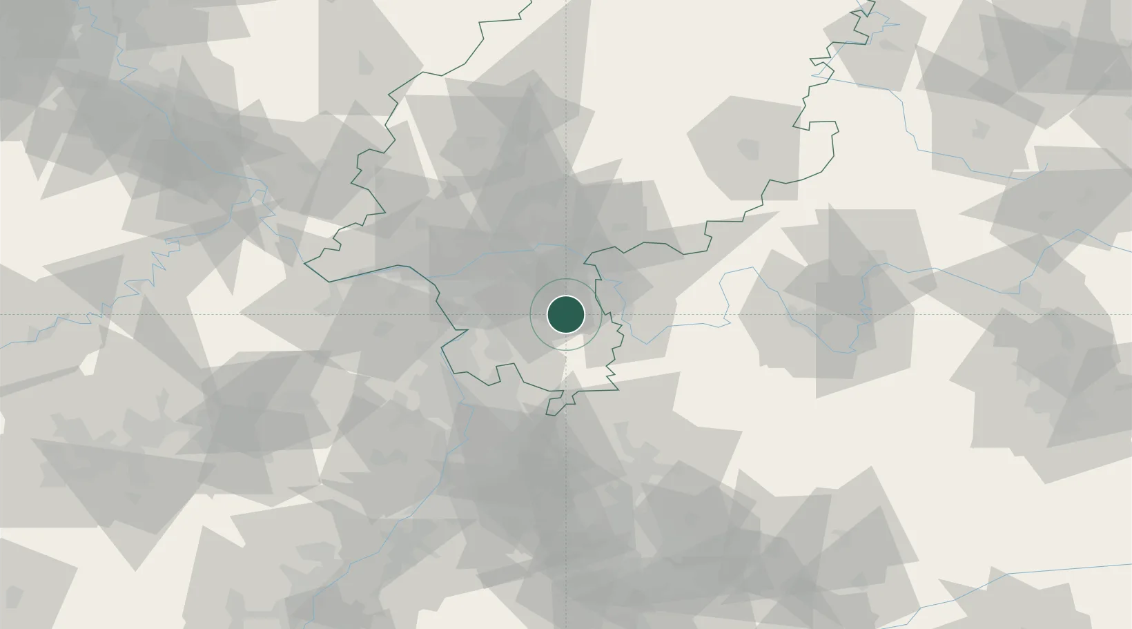
Hub Profile
Place type
Populated place
Region
Hesse
Time zone
Europe/Berlin
Elevation
207 m
Location
Nearby Logistics Neighbours
Cities
- 1Otzberg2 km
- 2Gross-Zimmern6 km
- 3Hassenroth6 km
- 4Münster10 km
- 5Rossdorf11 km
Airports
- 1Frankfurt-Egelsbach Airport23 km
- 2Frankfurt Main Airport33 km
- 3Wiesbaden Army Airfield48 km
- 4Mannheim-City Airport49 km
- 5Mainz-Finthen Airfield56 km
Trade Zones
- 1ZFU La Cité Behren-lès-Forbach161 km
- 2ZFU Hautepierre163 km
- 3ZFU Neuhof166 km
- 4Luxembourg Free Port194 km
- 5ZFU Woippy-Metz213 km
DatabookThe Record of Consolidated Knowledge
Germany beyond logistics?