Transport Functions
Road
Multimodal
Hub Profile
Place type
Local administrative seat
Region
Bavaria
Population
1,299
Time zone
Europe/Berlin
Elevation
703 m
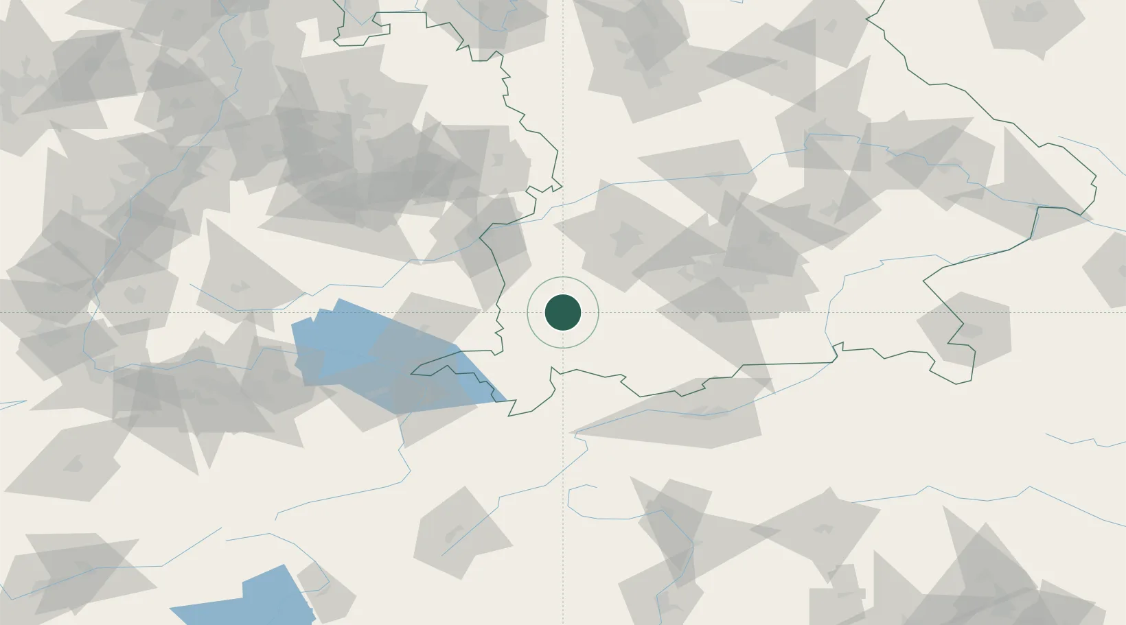
Location
Nearby Logistics Neighbours
Cities
- 1Engetried8 km
- 2Pforzen9 km
- 3Dirlewang9 km
- 4Obergünzburg10 km
- 5Kaufbeuren11 km
Ports
- 1Nogaro314 km
- 2Porto Di Lido-Venezia315 km
- 3Grado326 km
- 4Porto Di Chioggia329 km
- 5Monfalcone332 km
Airports
- 1Memmingen Allgau Airport21 km
- 2Lechfeld Air Base40 km
- 3Laupheim Air Base55 km
- 4Oberpfaffenhofen Airport61 km
- 5Augsburg Airport65 km
Trade Zones
- 1Livigno Free Trade Zone157 km
- 2Freeport of Deggendorf206 km
- 3ZFU Neuhof214 km
- 4ZFU Hautepierre221 km
- 5ZFU Mulhouse237 km
DatabookThe Record of Consolidated Knowledge
Germany beyond logistics?