Transport Functions
Rail
Road
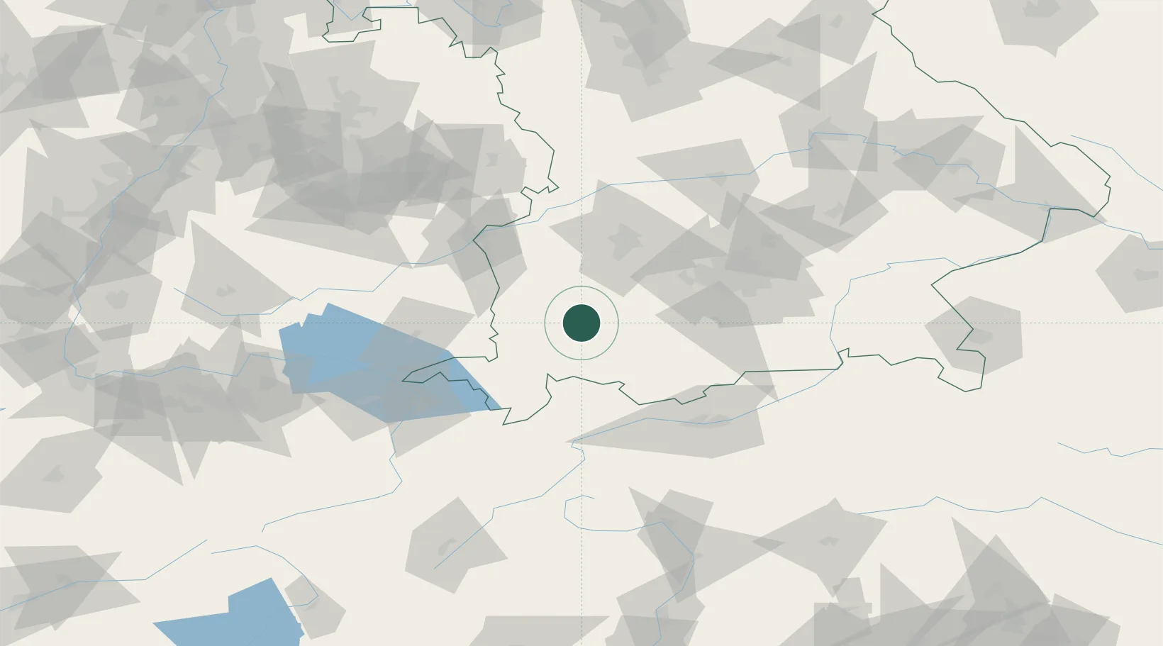
Hub Profile
Place type
District seat
Region
Bavaria
Population
42,505
Time zone
Europe/Berlin
Elevation
672 m
Location
Nearby Logistics Neighbours
Cities
- 1Pforzen6 km
- 2Ruderatshofen8 km
- 3Ebenhofen9 km
- 4Eggenthal11 km
- 5Dirlewang16 km
Ports
- 1Nogaro305 km
- 2Porto Di Lido-Venezia307 km
- 3Grado317 km
- 4Porto Di Chioggia321 km
- 5Monfalcone322 km
Airports
- 1Memmingen Allgau Airport32 km
- 2Lechfeld Air Base38 km
- 3Oberpfaffenhofen Airport53 km
- 4Augsburg Airport64 km
- 5Laupheim Air Base66 km
Trade Zones
- 1Livigno Free Trade Zone156 km
- 2Freeport of Deggendorf199 km
- 3ZFU Neuhof225 km
- 4ZFU Hautepierre232 km
- 5ZFU Mulhouse247 km
DatabookThe Record of Consolidated Knowledge
Germany beyond logistics?