Transport Functions
Rail
Road
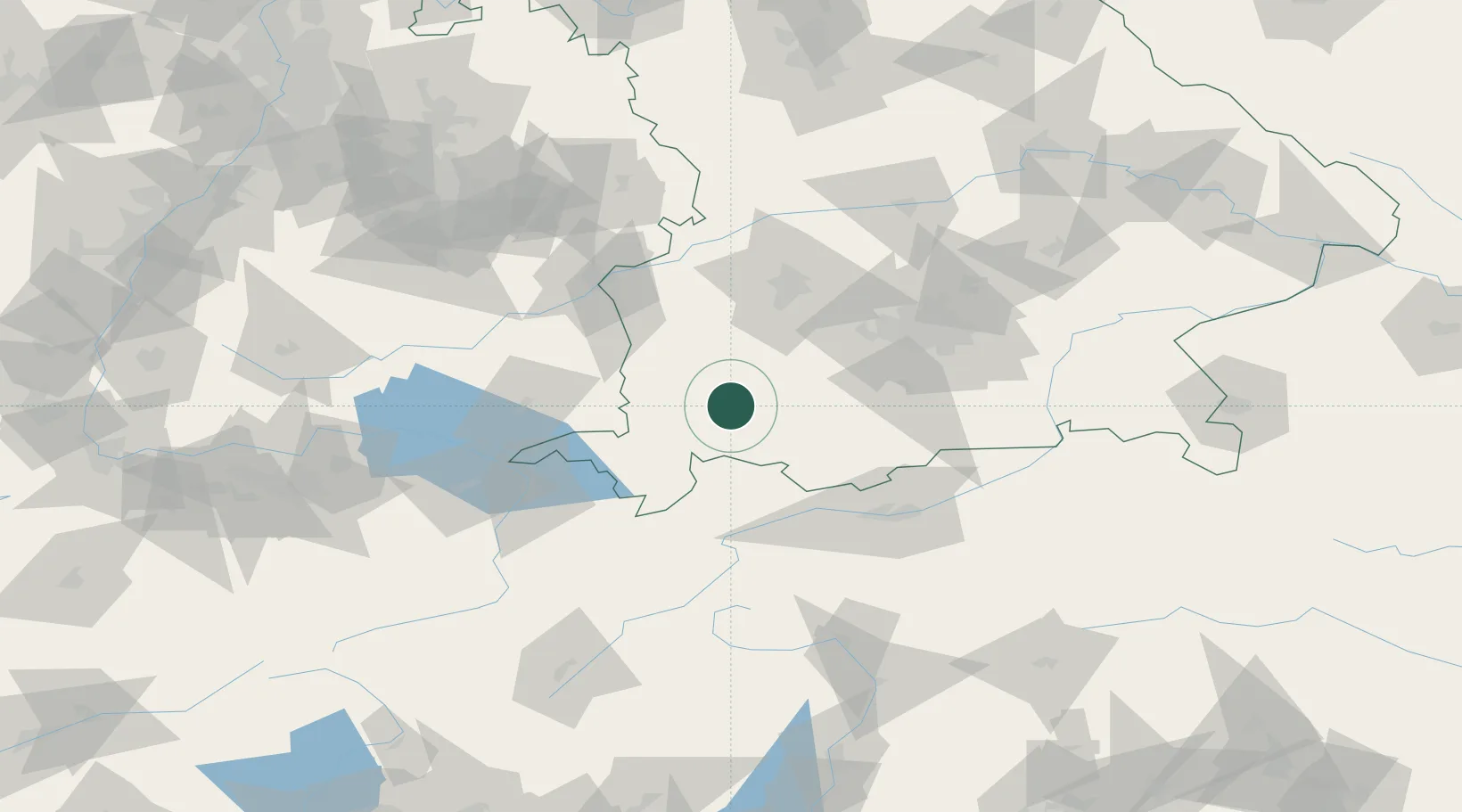
Hub Profile
Place type
Populated place
Region
Bavaria
Time zone
Europe/Berlin
Elevation
711 m
Location
Nearby Logistics Neighbours
Cities
- 1Ruderatshofen3 km
- 2Kaufbeuren9 km
- 3Guenzach14 km
- 4Pforzen15 km
- 5Eggenthal16 km
Ports
- 1Nogaro299 km
- 2Porto Di Lido-Venezia299 km
- 3Grado311 km
- 4Porto Di Chioggia313 km
- 5Monfalcone316 km
Airports
- 1Memmingen Allgau Airport35 km
- 2Lechfeld Air Base47 km
- 3Oberpfaffenhofen Airport59 km
- 4Laupheim Air Base70 km
- 5Augsburg Airport73 km
Trade Zones
- 1Livigno Free Trade Zone146 km
- 2Freeport of Deggendorf205 km
- 3ZFU Neuhof227 km
- 4ZFU Hautepierre234 km
- 5ZFU Mulhouse245 km
DatabookThe Record of Consolidated Knowledge
Germany beyond logistics?